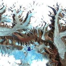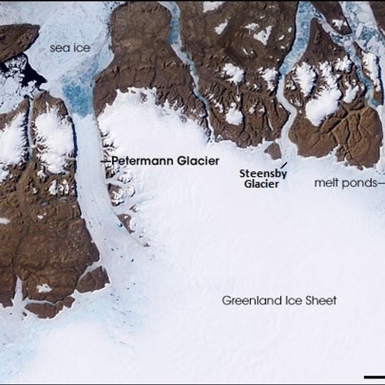
Petermann Glacier, Marine-terminating glacier in Northeast Greenland National Park, Greenland
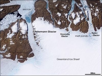
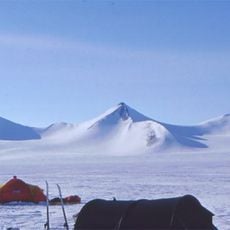
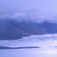
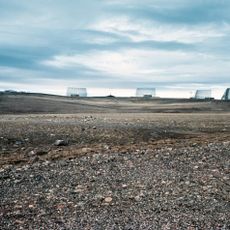
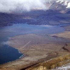
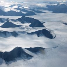
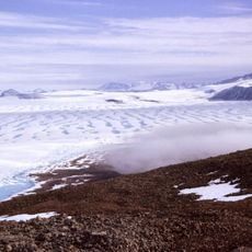
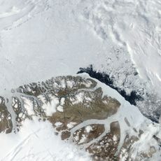
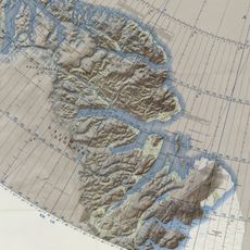
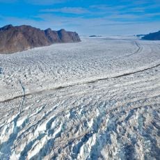
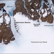
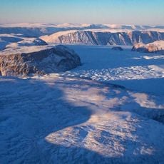
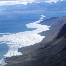
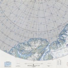
Petermann Glacier is a tidewater glacier in Northwest Greenland, east of Nares Strait, formed by a floating ice tongue about 70 km long and 15 km wide. Its thickness drops from roughly 600 m at the grounding line to 30–80 m at the front. The tongue fills Petermann Fjord between Hall Land and Daugaard-Jensen Land, with the Petermann Peninsula flanking its northern end.
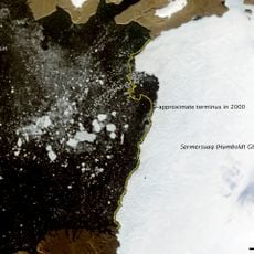
Named during George Nares's British Arctic Expedition of 1875–1876 after German geographer August Petermann, the glacier was mapped in detail by Lauge Koch in 1921. In August 2010 an iceberg of over 250 km² calved, the largest in the Arctic since 1962; a further calving in July 2012 shortened the ice tongue from 81 km to 46 km.
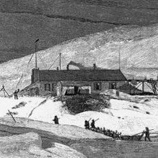
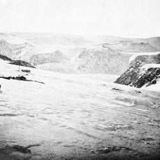
The glacier and its fjord are named after the German cartographer August Heinrich Petermann, honoured during George Nares's British Arctic Expedition of 1875–1876. The name had already been given to the fjord and the western peninsula during Charles Francis Hall's Polaris expedition of 1871–1873.
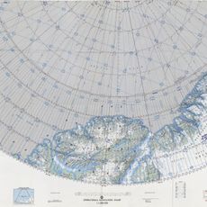
The fjord mouth lies between Cape Morton and Cape Tyson, and modern soundings of the fjord are still lacking, so sill depth and location remain largely unknown. Access is by icebreaker or aircraft; the USCGC Healy entered the fjord on 11 August 2003, and the Swedish icebreaker Oden worked there in summer 2015. Sea ice and weather limit the working season to a short summer window.
This glacier hosts the longest floating ice tongue in the Northern Hemisphere, making it a rare polar phenomenon. Its structure provides researchers with a natural laboratory for studying marine ice dynamics.
The community of curious travelers
AroundUs brings together thousands of curated places, local tips, and hidden gems, enriched daily by 94,502 contributors worldwide.