Hiawatha Glacier, Glacial formation in Avannaata, Greenland.
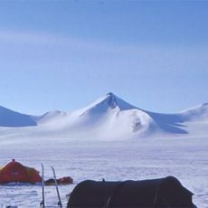
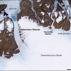
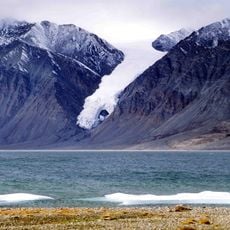
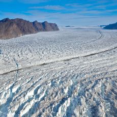
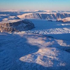
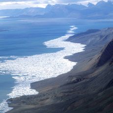
Hiawatha Glacier spans roughly 30 kilometers across northwestern Greenland and sits beneath about one kilometer of solid ice. Its surface shows white, sometimes bluish expanses that flow between rock walls and neighboring ice masses.
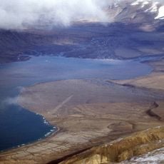
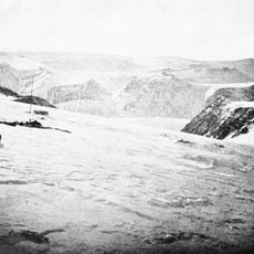
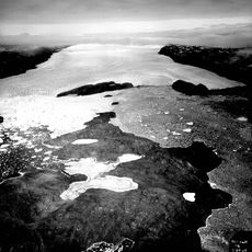
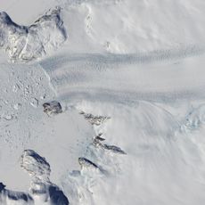
Scientists first mapped the glacier in 1922, noting its retreat toward a neighboring lake. Research teams have since observed that the ice keeps pulling back and exposing the landscape underneath.
The name comes from a figure in Native American oral tradition, linking the ice to stories from another continent. Nothing on site visibly recalls this origin, but the reference remains alive in maps and scientific reports.
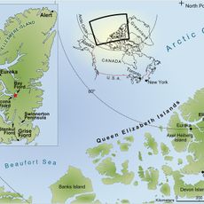
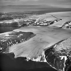
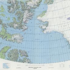
Access requires specialized equipment and support from research teams, as the terrain is extremely remote and difficult to reach. Radar surveys provide insight into the hidden structures beneath the ice cover.
Beneath the ice lies a huge impact crater left by a cosmic event roughly 58 million years ago. Radar images reveal the circular depression that otherwise remains invisible.
The community of curious travelers
AroundUs brings together thousands of curated places, local tips, and hidden gems, enriched daily by 60,000 contributors worldwide.