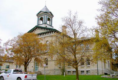
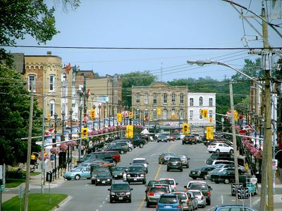
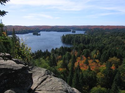
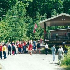
Kawartha Lakes, Administrative municipality in Central Ontario, Canada
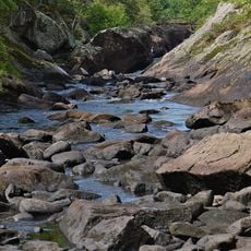
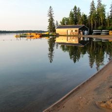
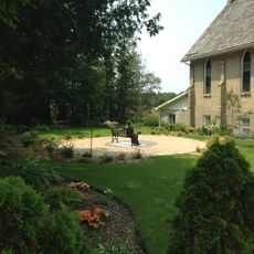
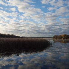
Kawartha Lakes is an administrative municipality in Central Ontario featuring approximately 250 lakes and rivers that connect communities including Lindsay, Bobcaygeon, and Fenelon Falls. The region's water systems define its layout and connect these distinct towns across the territory.
The region formed in 2001 through the merger of several municipalities as part of Ontario's administrative reorganization. This consolidation brought together historically distinct communities under a single administrative structure.
The name comes from an Anishinaabe word meaning 'land of reflections', adapted by Martha Whetung in 1895 to its current form. This meaning continues to shape how locals and visitors understand the region's identity.
Local bus services in Lindsay connect the main areas for visitors to reach shops and services. Checking schedules in advance helps plan travel between the different communities and attractions across the region.
The region receives between 150 to 200 centimeters (59 to 79 inches) of snow annually, creating prolonged winter conditions. This consistent snow cover transforms the lakes and forests into destinations for cold-season activities.
Location: Ontario
Inception: 2001
Capital city: Lindsay
Shares border with: Regional Municipality of Durham, Simcoe County, Selwyn, Ramara, Brock, Scugog, Trent Lakes, Cavan Monaghan
Website: http://city.kawarthalakes.on.ca
GPS coordinates: 44.35000,-78.75000
Latest update: December 14, 2025 21:10
YMCA Camp Wanakita
73.1 km
Queen Elizabeth II Wildlands Provincial Park
55.7 km
Kirkfield Lift Lock
32.8 km
Balsam Lake Provincial Park
33 km
Leaskdale Manse
36.6 km
York–Durham Heritage Railway
40.1 km
Peterborough Speedway
26.9 km
Canal Lake Concrete Arch Bridge
33 km
St. Paul's Presbyterian Church
36.6 kmCarden Alvar Provincial Park
39.5 kmThe Links at Monck's Landing Golf Club
43.6 km
Icelandic Settlement Disaster Memorial
48.7 kmFleetwood Kames
26.7 kmElliott Falls
44.1 kmMoore Falls
50.9 kmThree Brothers Falls
52.3 kmRackety Falls
57.4 km
Old Stone Church
30.3 kmEmily Provincial Park
17.2 kmDraper Township Conservation Reserve
76 kmSt. John's Church, West Brock Cemetery
32.4 km
Old Jail House
34.5 kmKinmount United Church
48.7 kmEganridge Resort, Golf Club, & Spa
22.8 kmLindsay Jail
1.2 kmPalmer Memorial Park
31.3 kmScovill's Cemetery
28.6 kmIndian Point Provincial Park
32.2 kmVisited this place? Tap the stars to rate it and share your experience / photos with the community! Try now! You can cancel it anytime.
Discover hidden gems everywhere you go!
From secret cafés to breathtaking viewpoints, skip the crowded tourist spots and find places that match your style. Our app makes it easy with voice search, smart filtering, route optimization, and insider tips from travelers worldwide. Download now for the complete mobile experience.
A unique approach to discovering new places❞
— Le Figaro
All the places worth exploring❞
— France Info
A tailor-made excursion in just a few clicks❞
— 20 Minutes