
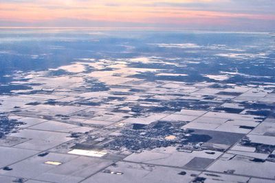
Beausejour, town in Manitoba, Canada
Location: Manitoba
Location: Division No. 12, Manitoba
Inception: 1874
Elevation above the sea: 251.2 m
Website: http://www.townofbeausejour.ca
Shares border with: Brokenhead
Website: http://townofbeausejour.ca
GPS coordinates: 50.06220,-96.51610
Latest update: May 1, 2025 04:48
Red River Floodway
30 km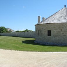
Lower Fort Garry
30.2 km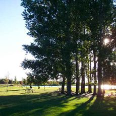
Birds Hill Provincial Park
26.6 km
Rainbow Stage
43.9 km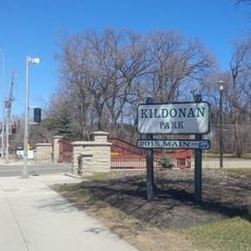
Kildonan Park
44 km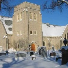
Cathedral of St. John
46.4 km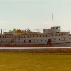
Marine Museum of Manitoba
26.6 km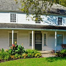
Seven Oaks House Museum
45.4 km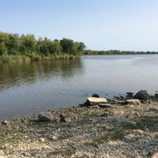
Netley Creek Provincial Park
35.3 km
Patricia Beach Provincial Park
41 km
Maison Gabrielle-Roy
46.7 km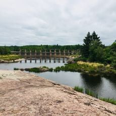
Pinawa Dam Provincial Park
45.3 km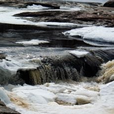
Whitemouth Falls Provincial Park
35.9 km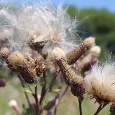
Duff Roblin Provincial Park
36.1 km
Selkirk Lift Bridge
26.7 km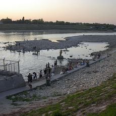
Lockport Provincial Park
30.1 km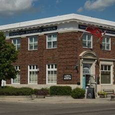
Transcona Museum
39.7 km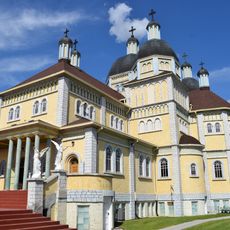
Ukrainian Catholic Church of the Immaculate Conception
19.5 km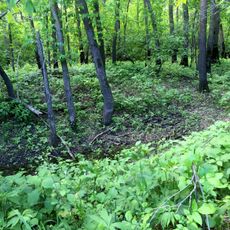
Brokenhead River Ecological Reserve
14.3 km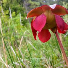
Brokenhead Wetland Ecological Reserve
36 km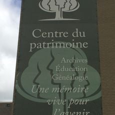
Centre du patrimoine
46.7 km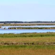
Oak Hammock Marsh Wildlife Management Area
46.5 km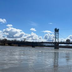
Marine Museum of Manitoba
26.6 km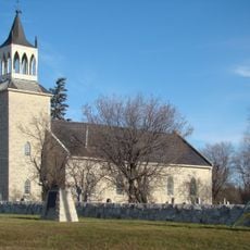
St. Andrew's Anglican Church
32.9 km
Battle of Seven Oaks National Historic Site
45.6 km
Hyland Provincial Park
39.2 km
St. Andrews
32.8 km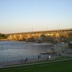
St. Andrews Caméré Curtain Bridge Dam
30.4 kmReviews
Visited this place? Tap the stars to rate it and share your experience / photos with the community! Try now! You can cancel it anytime.
Discover hidden gems everywhere you go!
From secret cafés to breathtaking viewpoints, skip the crowded tourist spots and find places that match your style. Our app makes it easy with voice search, smart filtering, route optimization, and insider tips from travelers worldwide. Download now for the complete mobile experience.

A unique approach to discovering new places❞
— Le Figaro
All the places worth exploring❞
— France Info
A tailor-made excursion in just a few clicks❞
— 20 Minutes