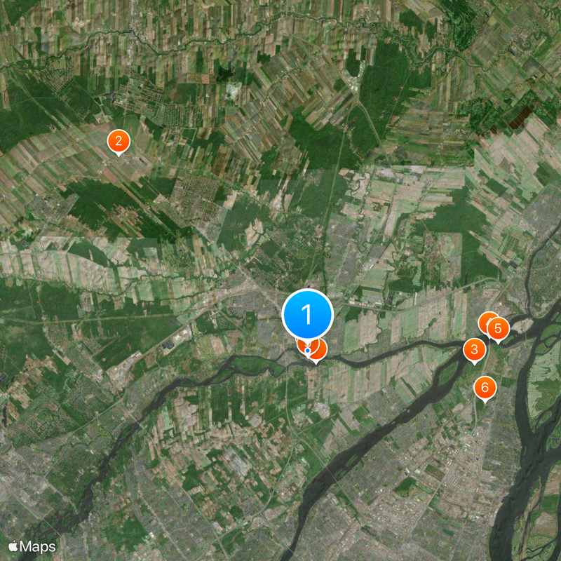
Terrebonne, Suburban center in Greater Montreal, Canada
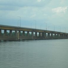
Terrebonne is a suburban center in Greater Montreal that stretches along the Rivière des Mille-Îles. The city has three distinct sectors (Lachenaie, La Plaine, and Terrebonne) connected by cycling paths and green spaces throughout.
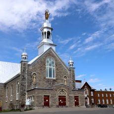
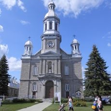
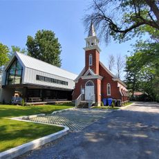
The settlement began in 1720 when Louis Lepage de Ste-Claire acquired the land, and the first church was built in 1734. These early foundations laid the groundwork for the community that eventually grew into today's suburban center.
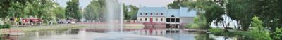
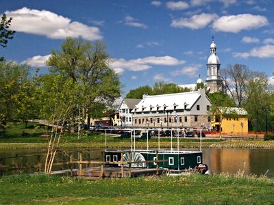
The Île-des-Moulins complex showcases historical buildings from the 18th century that tell the story of the mills. You can see the original flour and saw mills that once shaped how people lived and worked here.
The location is roughly 20 minutes from downtown Montreal with commuter rail service to Montreal Central Station and bus routes serving the area. This proximity makes it convenient for day trips or for residents commuting to the city center.
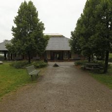
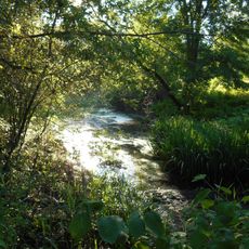
The area maintains over 90 parks and green spaces offering year-round activities for different seasons. In winter, a skiing facility operates while summer months bring water sports and recreation programs along the waterfront areas.
Location: Les Moulins
Inception: 1673
Part of: Greater Montreal
Shares border with: Mascouche, Bois-des-Filion, Laval, Montreal, Sainte-Anne-des-Plaines, Blainville, Lorraine, Repentigny, Charlemagne, Saint-Roch-de-l'Achigan
Address: Terrebonne, QC, Canada
Website: https://ville.terrebonne.qc.ca
GPS coordinates: 45.69515,-73.63501
Latest update: December 13, 2025 16:20
La Plaine
14.7 km
Pointe-aux-Prairies Nature Park
9 km
Charles de Gaulle Bridge
9.8 km
Coulée Grou
10.3 km
Sanctuary of Repairing the Sacred Heart and Padre Pio
9.9 km
Sophie Masson Bridge
757 m
Église Saint-Louis-de-France
100 m
Théâtre du Vieux-Terrebonne
323 m
Maison Antoine-Beaudry
11.3 km
Maison d'histoire de Terrebonne
306 m
Moulin neuf de l'île des Moulins
355 m
Pont Mathieu
1.3 km
Pont Lepage
1.4 km
Maison Bleau
9.6 km
Parc Marie-des-Hauts-Bois
5.5 km
Parc Marie-Le Franc
10.3 km
Parc Armand-Nadeau
5.9 km
Parc des Optimistes
6.4 km
Parc du Grand-Coteau
4.8 km
Parc de la Détente
5.1 km
Parc des Saules
4 km
Pont Alexander
6.2 km
Parc Roger
9.6 km
Cimetière de Sainte-Anne-des-Plaines
15.9 km
Parc de Vanier
6.9 km
Forrmer St. Michael Anglican Church
564 m
Église Sainte-Anne-des-Plaines
15.8 km
Parc Marie-Victorin
7.2 kmVisited this place? Tap the stars to rate it and share your experience / photos with the community! Try now! You can cancel it anytime.
Discover hidden gems everywhere you go!
From secret cafés to breathtaking viewpoints, skip the crowded tourist spots and find places that match your style. Our app makes it easy with voice search, smart filtering, route optimization, and insider tips from travelers worldwide. Download now for the complete mobile experience.
A unique approach to discovering new places❞
— Le Figaro
All the places worth exploring❞
— France Info
A tailor-made excursion in just a few clicks❞
— 20 Minutes