Mont-Laurier, Administrative center in Antoine-Labelle region, Quebec, Canada.
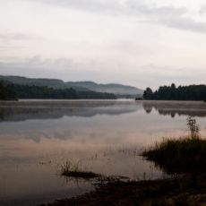
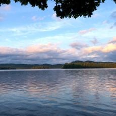
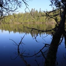
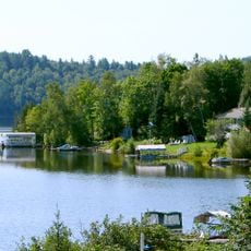
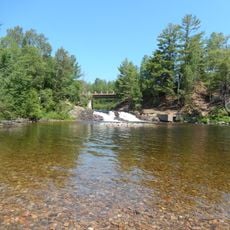
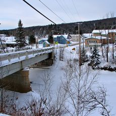
Mont-Laurier is an administrative center in the Antoine-Labelle region that spreads along the Lièvre River valley. The town sits amid forests and mountains of western Quebec, with local schools, shopping areas, and government buildings serving the surrounding region.
The settlement was first called Rapide-de-l'Orignal in 1885 and renamed in 1909 to honor Canadian Prime Minister Sir Wilfrid Laurier. Its growth was tied to forestry activities and later railway development in the region.
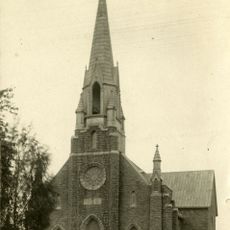
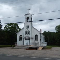
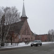
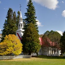
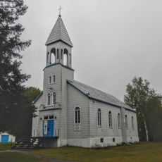
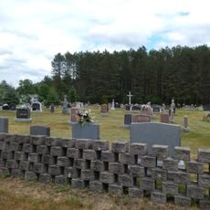
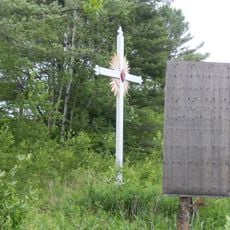
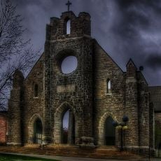
The Saint-Joseph Cathedral anchors the town center and reflects the spiritual roots of the community. It remains a focal point where locals and visitors can sense how faith has shaped the identity of the place.
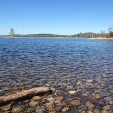
Visitors can access winter and summer sports activities, hiking paths through surrounding forests, and various community facilities. The warmer months work well for exploring town and trails, while winter months offer additional recreational options.
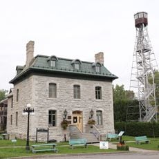
The railway station remains an active freight hub with regular cargo operations that highlight the importance of transportation to the local economy. This transportation connection shows how logistics continues to shape the town's working identity.
Location: Antoine-Labelle
Location: Mont-Laurier
Inception: January 8, 2003
Elevation above the sea: 244 m
Shares border with: Grand-Remous, Saint-Aimé-du-Lac-des-Îles, Ferme-Neuve, Lac-des-Écorces, Kiamika, Aumond, Déléage, Notre-Dame-de-Pontmain
Website: http://villemontlaurier.qc.ca
GPS coordinates: 46.55000,-75.50000
Latest update: December 7, 2025 20:45
Circuit Mont-Tremblant
79.4 km
Mont Tremblant Resort
79.6 km
Lake Tremblant
74.5 km
Papineau-Labelle Wildlife Reserve
54.6 km
Lac du Poisson Blanc
61.8 km
Réservoir Kiamika
35.4 kmPoisson-Blanc Regional Park
52.4 km
Notre-Dame-de-Fourvière Cathedral
282 m
Kiamika Reservoir Regional Park
35.8 km
Pont Armand-Lachaîne
20.5 km
Zec Petawaga
63.2 km
Pont Macaza
59.3 km
Pont Savoyard
33.2 km
Église Notre-Dame-du-Mont-Carmel
66.9 km
Église Notre-Dame-du-Très-Saint-Sacrement
17.3 km
Chapelle Saint-Bernard
79.6 km
Site patrimonial de la Paroisse-de-Notre-Dame-des-Anges
73.1 km
Cimetière de Notre-Dame-de-la-Consolation
81.6 km
Réservoir l'Escalier
77.6 km
Grotte de la Maison de Pierre
12.2 km
Espace Théâtre
392 m
Chute aux Épinettes Rouges
67.3 km
Château Logue
40.4 km
Ancien presbytère de Notre-Dame-de-la-Consolation
81.5 km
Domaine des Pères de Sainte-Croix
76.2 km
Façades de l'ancienne cathédrale de Notre-Dame-de-Fourvières
284 m
Pont de la Rivière-Rouge
51.4 km
Ancienne école de Notre-Dame-de-Fatima
27.2 kmVisited this place? Tap the stars to rate it and share your experience / photos with the community! Try now! You can cancel it anytime.
Discover hidden gems everywhere you go!
From secret cafés to breathtaking viewpoints, skip the crowded tourist spots and find places that match your style. Our app makes it easy with voice search, smart filtering, route optimization, and insider tips from travelers worldwide. Download now for the complete mobile experience.
A unique approach to discovering new places❞
— Le Figaro
All the places worth exploring❞
— France Info
A tailor-made excursion in just a few clicks❞
— 20 Minutes