Bruce Trail, Hiking trail in Ontario, Canada
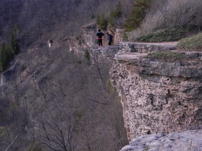
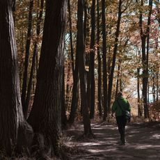
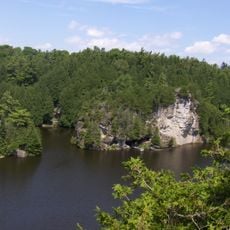
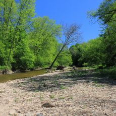
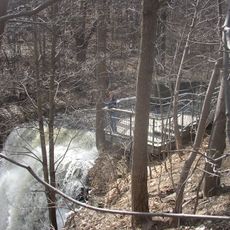
The Bruce Trail is a hiking trail in Ontario, Canada, that runs 890 kilometers (550 miles) along the Niagara Escarpment between Queenston and Tobermory, with an additional 440 kilometers (270 miles) of side trails. The path follows the rim of the escarpment through forests, fields, and conservation areas, with white blazes painted on trees and rocks marking the main route while blue markers indicate side paths.
The founding began in 1959 when Ray Lowes and Robert Bateman sought to create a continuous hiking route along the escarpment, leading to the official incorporation of the association in March 1963. Over the years, more and more landowners agreed to allow passage through their property, gradually connecting the route into a single path.
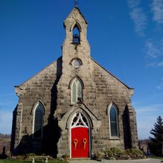
The name comes from the Bruce Peninsula National Park at the northern terminus, whose rugged landscape has held meaning for Indigenous peoples for centuries. Hikers today encounter many local volunteers who maintain trail markers and repair bridges, while passing through villages where farmers' markets and small shops offer supplies.
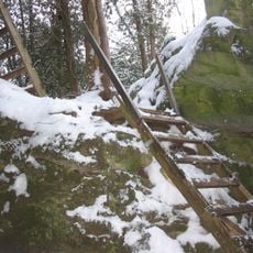
Access is possible year-round at many points, with short day hikes as feasible as multi-day treks through entire sections. Sturdy footwear is advisable since the terrain often turns rocky, and roots and stones can become slippery when wet.
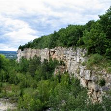
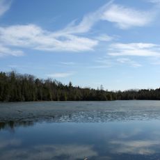
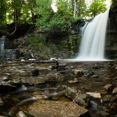
The route crosses the Niagara Escarpment, recognized by UNESCO as a World Biosphere Reserve and home to many waterfalls and trees that can be several hundred years old. Some sections run directly along the edge of the escarpment, where you can often spot Silurian fossils embedded in the limestone layers.
The community of curious travelers
AroundUs brings together thousands of curated places, local tips, and hidden gems, enriched daily by 60,000 contributors worldwide.