Cambridge, Industrial municipality in Ontario, Canada
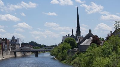
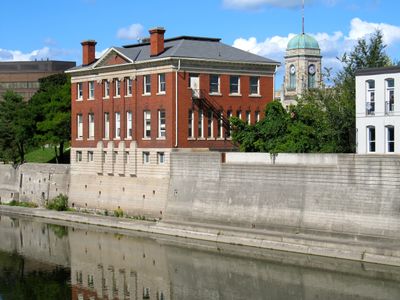
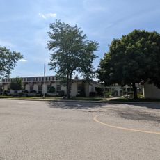
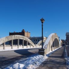
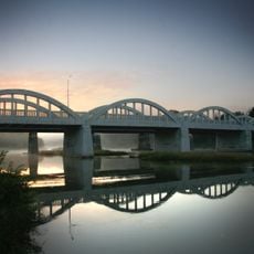
Cambridge sits at the junction where the Grand River meets the Speed River in Waterloo Region. The municipality links residential and industrial areas along both riverbeds, with parks and walking trails that follow the water.
The city formed in 1973 when Galt, Preston, Hespeler, and Blair merged from separate communities into a single municipality. This fusion aimed to streamline administration and infrastructure and support growth across the region.
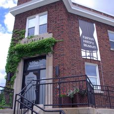
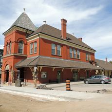
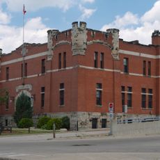
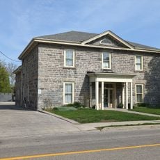
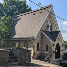
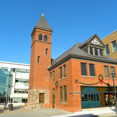
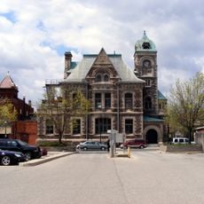
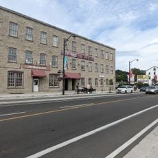
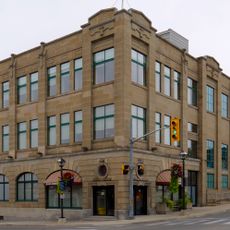
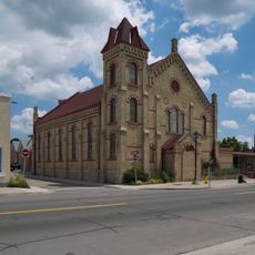
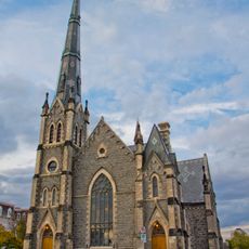
The architecture still reflects the Scottish and German settlers who made their home here during the 19th century. Brick facades and old mill buildings line the streets, recalling those early communities.
Several bus routes connect the different neighbourhoods, and the downtown area is easy to explore on foot. Riverside trails remain open year-round, with spring and autumn offering the most comfortable walking conditions.
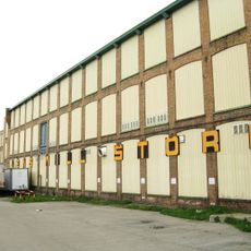
The Toyota plant produces several hundred thousand vehicles each year and ranks among the most important automotive sites in the country. Thousands work on-site in production and logistics, giving the region a clear industrial focus.
Location: Regional Municipality of Waterloo
Inception: January 1973
Elevation above the sea: 329 m
Shares border with: Kitchener
Website: http://cambridge.ca
GPS coordinates: 43.35833,-80.31389
Latest update: December 13, 2025 04:06
Galt Arena Gardens
789 m
Southwood Secondary School
2.1 km
Fashion History Museum
8.3 kmIdylwild Park
6.7 km
Cambridge Main Street Bridge
184 mSolar Collector
8.8 km
St. Mary Macedonian Orthodox Church, Cambridge, Ontario
1.7 kmCambridge to Paris Rail Trail
1.5 km
Cambridge Farmers' Market
203 m
Cambridge Armoury
79 m
69 Wellington Street
488 m
Gore Tower in Centennial Park
418 m
St. Mathew's Cathedral
7.9 km
Galt Fire Department Hall
246 m
Former Galt Post Office
135 m
Forbes Textile Mill
7.7 km
P & H Mill
6.3 km330 Joseph Schoerg Crescent
9.2 km
Jacob Hespeler Grist Mill
5.2 km
Public Utilities Building
260 m4790 Townline Road
10.3 kmCambridge Art Galleries
534 m
Hespeler Town Hall
8.1 km
First Delta Baptist Church
184 m
Freeport Bridge
10.5 kmShade's Mills Conservation Area
3.3 km
Central Presbyterian Church
249 mPuslinch Lake Conservation Area
7.5 kmVisited this place? Tap the stars to rate it and share your experience / photos with the community! Try now! You can cancel it anytime.
Discover hidden gems everywhere you go!
From secret cafés to breathtaking viewpoints, skip the crowded tourist spots and find places that match your style. Our app makes it easy with voice search, smart filtering, route optimization, and insider tips from travelers worldwide. Download now for the complete mobile experience.
A unique approach to discovering new places❞
— Le Figaro
All the places worth exploring❞
— France Info
A tailor-made excursion in just a few clicks❞
— 20 Minutes