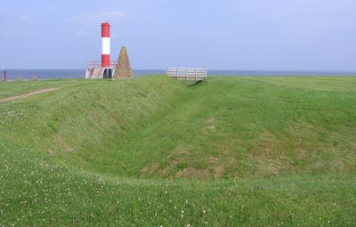
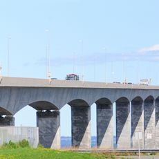
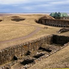
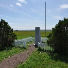
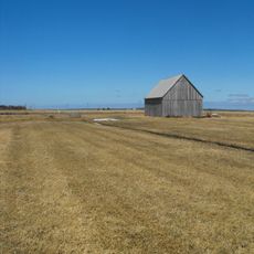
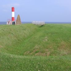
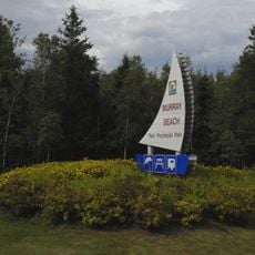
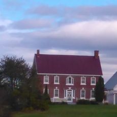
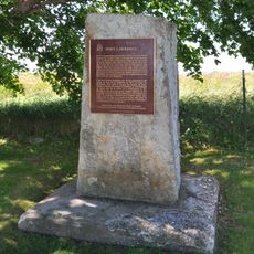
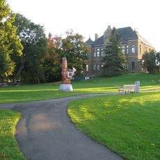
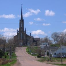
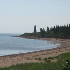
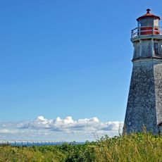
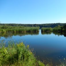
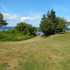
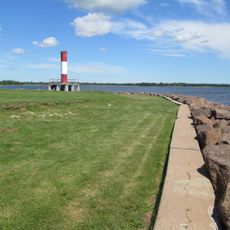
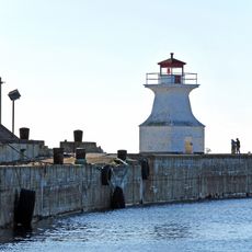
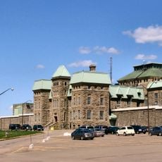
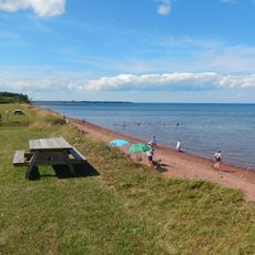
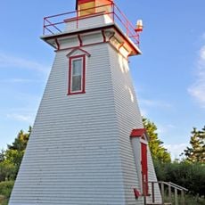
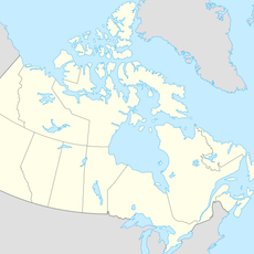
Baie Verte, human settlement in Westmorland County, New Brunswick, Canada
Location: New Brunswick
Location: Westmorland County
Shares border with: Point de Bute
GPS coordinates: 46.01490,-64.10320
Latest update: March 7, 2025 17:56
Confederation Bridge
35.5 km
Fort Beauséjour
22.2 km
Beaubassin
22.1 km
Tantramar Marshes
18.7 km
Fort Gaspareaux
3.7 km
Murray Beach Provincial Park
20.6 km
Chapman House
19.1 km
Fort Lawrence
22.3 km
Monument-Lefebvre
36.1 km
Saint-Thomas de Memramcook Church
36 km
Cape Jourimain National Wildlife Area
26.9 km
Cape Jourimain Lighthouse
27.8 km
Chignecto National Wildlife Area
26.5 km
Tidnish Dock Provincial Park
7.6 km
Fort Monckton Lighthouse
4 km
Cape Tormentine front range light
28.8 km
Dorchester Penitentiary, Administrative Building
33.6 km
Northport Beach Provincial Park
22.3 km
Coldspring Head lighthouse
19.3 km
Owens Art Gallery
24.5 km
Shinimicas Provincial Park
22 km
Amherst Point Migratory Bird Sanctuary
26.6 km
Bell Inn
34.6 km
Dorchester Penitentiary, Towers D-1, D-2, D-3, D-4
33.7 km
Boultenhouse
24.9 km
Visitor Centre / Museum
22.3 km
Colville House
24.7 km
Tidnish Keystone Bridge
6.3 kmVisited this place? Tap the stars to rate it and share your experience / photos with the community! Try now! You can cancel it anytime.
Discover hidden gems everywhere you go!
From secret cafés to breathtaking viewpoints, skip the crowded tourist spots and find places that match your style. Our app makes it easy with voice search, smart filtering, route optimization, and insider tips from travelers worldwide. Download now for the complete mobile experience.
A unique approach to discovering new places❞
— Le Figaro
All the places worth exploring❞
— France Info
A tailor-made excursion in just a few clicks❞
— 20 Minutes