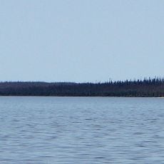
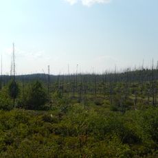
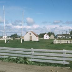
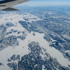
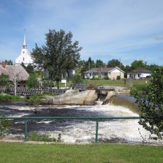
Jamésie, equivalent territory and geographic region in Quebec, Canada
Location: Nord-du-Québec
Shares border with: Kativik Regional Government, Eeyou Istchee, Caniapiscau Regional County Municipality, Le Fjord-du-Saguenay, Maria-Chapdelaine, Le Domaine-du-Roy, urban agglomeration of La Tuque, La Vallée-de-l'Or, Abitibi-Ouest, Abitibi, Cochrane District, Qikiqtaaluk Region
GPS coordinates: 52.00000,-74.75000
Latest update: March 3, 2025 06:53
James Bay Project
269 km
Zoo Sauvage de St-Félicien
402.1 km
Moose Factory Island
412.4 km
Robert-Bourassa Reservoir
246.6 km
Réservoir Pipmuacan
408.4 km
Laforge-2 generating station
369.2 km
Aménagement de l'Eastmain-1
91.3 km
Monastère Notre-Dame de Mistassini
384.4 km
Ashuapmushuan Wildlife Reserve
335.9 km
Lake Nemiscau
150.1 km
Colonne de la liberté
316.8 km
Croix de chemin de Saint-Thomas-Didyme
376.9 km
Obalski Regional Park
236 km
Fort Saint-Louis
399.4 km
Réservoir Laforge 1
314.3 km
Complexe sportif de Dolbeau
391.2 km
Ancien moulin de Sainte-Jeanne-d'Arc
396.9 km
Église Saint-Édouard
407.9 km
Eastmain Bridge
163.8 km
Pont Rouge
395 km
Ancienne abbaye Notre-Dame de Mistassini
389.6 km
Église Notre-Dame-de-Lourdes
368.2 km
Musée Louis-Hémon
412.4 km
Bibliothèque de Saint-Félicien, Québec
406.9 km
Moulin de La Doré
396.8 km
Sackabuckiskum House
412.8 km
Atelier mécanique Félix Trottier et Fils
396.8 km
Maison de Marie
396.8 kmReviews
Visited this place? Tap the stars to rate it and share your experience / photos with the community! Try now! You can cancel it anytime.
Discover hidden gems everywhere you go!
From secret cafés to breathtaking viewpoints, skip the crowded tourist spots and find places that match your style. Our app makes it easy with voice search, smart filtering, route optimization, and insider tips from travelers worldwide. Download now for the complete mobile experience.
A unique approach to discovering new places❞
— Le Figaro
All the places worth exploring❞
— France Info
A tailor-made excursion in just a few clicks❞
— 20 Minutes