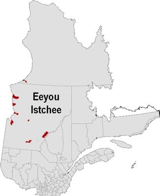
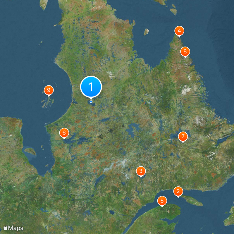
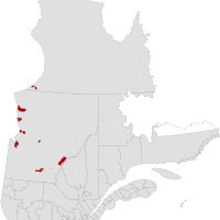
Nord-du-Québec, Administrative region in northern Quebec, Canada
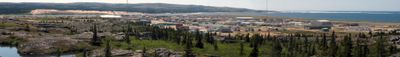
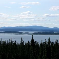
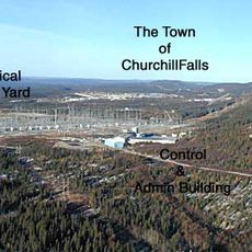
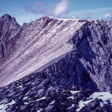
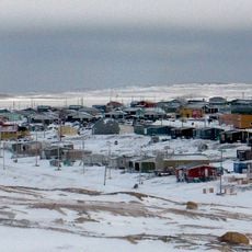
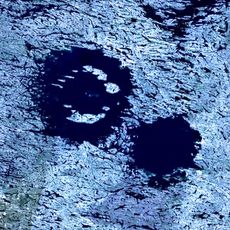
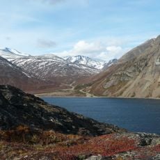
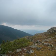
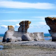
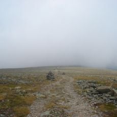
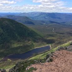
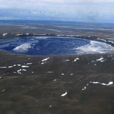
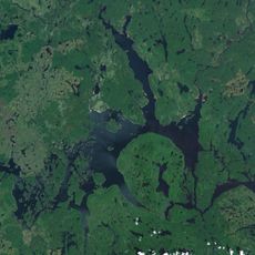
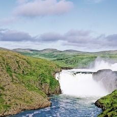
Nord-du-Québec is an administrative region sprawling across northern Quebec, bordered by multiple bays and water bodies that shape its landscape. The territory consists of boreal forests, tundra areas, and countless water systems that define the geography.
The territory was transferred to Quebec in 1912 after being part of the Northwest Territories, and was known as Nouveau-Québec for much of the 20th century. A major administrative reorganization in 1987 brought the current name and restructured how the region functions.
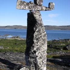
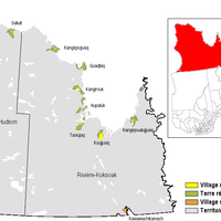
Indigenous Cree and Inuit communities shape daily life in this region, with their languages and practices visible in settlements and local customs. Their presence is woven into the fabric of how communities organize themselves and interact with the land.
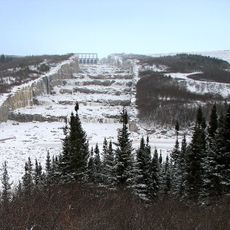
Most communities can only be reached by plane or boat due to very limited road networks connecting settlements. Visitors should understand that infrastructure is sparse and advance planning is essential for travel.
The region is divided into three distinct administrative areas reflecting different communities and landscapes within its boundaries. Each area functions with its own governance structure tailored to the needs of local populations.
Location: Quebec
Shares border with: Abitibi-Témiscamingue, Saguenay–Lac-Saint-Jean, Côte-Nord, Mauricie, Labrador, Nunavut, Ontario
Website: http://nordduquebec.gouv.qc.ca
GPS coordinates: 56.16667,-74.41667
Latest update: December 12, 2025 07:57
St. Lawrence River
981.3 km
Manicouagan Reservoir
673.8 km
Weather Station Kurt
732.3 km
International Appalachian Trail
969.3 km
James Bay Project
329.6 km
Churchill Falls Generating Station
730.4 km
Mount Caubvick
706.8 km
Sanikiluaq
299.4 km
Daniel-Johnson Dam
720.8 km
Churchill Falls
707 km
Wiyâshâkimî Lake
6.2 km
Hammer of Thor
487 km
Torngat Mountains National Park
731.4 km
Louis-Babel Ecological Reserve
645.8 km
Monts Notre-Dame
981.8 km
Mingan Archipelago National Park Reserve
963.3 km
Mont Jacques-Cartier
981.6 km
Gaspésie National Park
975.9 km
Qajartalik
599 km
Pingualuit National Park
573.1 km
Robert-Bourassa Reservoir
315.6 km
Centre Henry-Leonard
881.1 km
CFS Resolution Island
824.1 km
Réservoir Pipmuacan
775.4 km
Aanischaaukamikw Cree Cultural Institute
695.4 km
Château Menier
973.3 km
Tursujuq National Park
116.6 km
Pointe-à-la-Renommée Lighthouse
1026.1 kmVisited this place? Tap the stars to rate it and share your experience / photos with the community! Try now! You can cancel it anytime.
Discover hidden gems everywhere you go!
From secret cafés to breathtaking viewpoints, skip the crowded tourist spots and find places that match your style. Our app makes it easy with voice search, smart filtering, route optimization, and insider tips from travelers worldwide. Download now for the complete mobile experience.
A unique approach to discovering new places❞
— Le Figaro
All the places worth exploring❞
— France Info
A tailor-made excursion in just a few clicks❞
— 20 Minutes