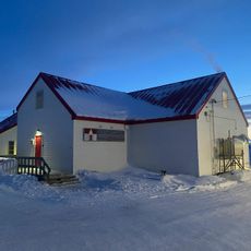
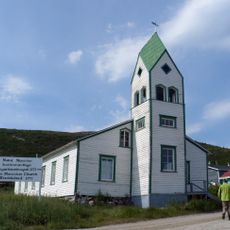
Torngat Mountains National Park, National park in Nunatsiavut, Canada.
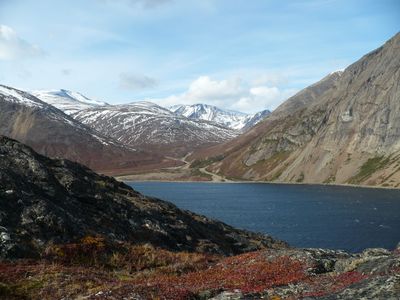
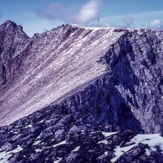
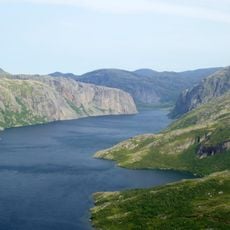
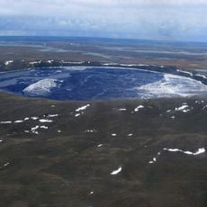
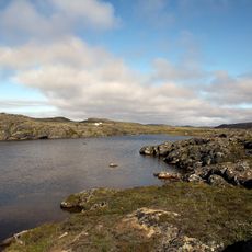
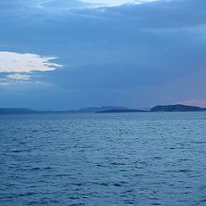
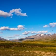
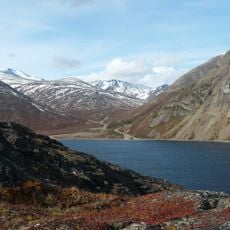
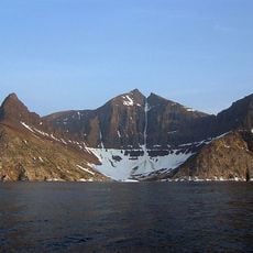
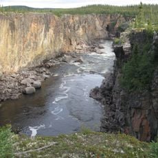
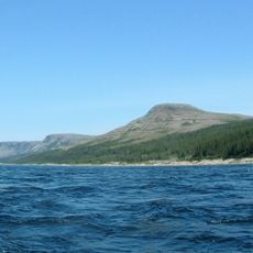
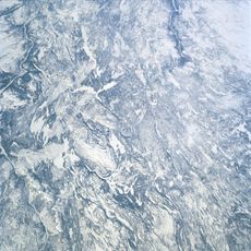
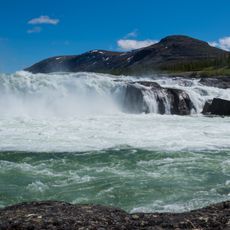
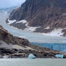
Torngat Mountains National Park covers northern Labrador with deep fjords, glacier-carved valleys, and open arctic tundra landscape. The terrain is steep and jagged, shaped by ice and water over millennia into towering rock faces and narrow coastal inlets.
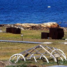
The area has been hunting and gathering grounds for Inuit communities over thousands of years. It became a national park in 2005, establishing formal protection for these ancestral lands and their ongoing importance to indigenous peoples.
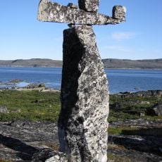
The name comes from an Inuktitut word meaning "place of spirits," reflecting how sacred these lands are to Inuit communities. This spiritual connection remains visible in how the landscape is experienced by those who travel through it.
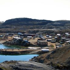
Getting there requires chartered flights to Goose Bay followed by additional air or boat transportation to the main base camp. Visitors should prepare for extreme weather, a short summer season, and very limited facilities once in the park.
The park sits at the boundary between boreal and arctic wildlife zones, allowing woodland caribou and polar bears to inhabit overlapping territories. This rare convergence of two ecosystems creates an unusual gathering of species not commonly found together.
The community of curious travelers
AroundUs brings together thousands of curated places, local tips, and hidden gems, enriched daily by 60,000 contributors worldwide.