Kuururjuaq National Park, National park in northeastern Quebec, Canada.
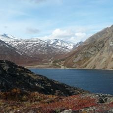
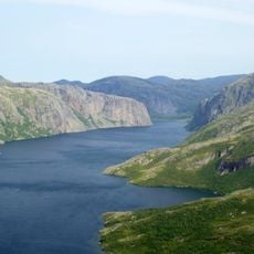
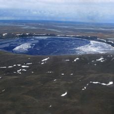
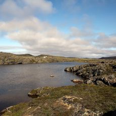
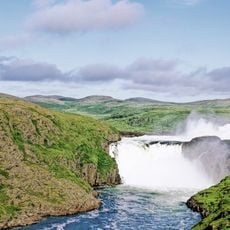
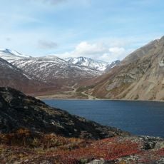
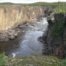
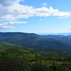
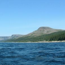
Kuururjuaq National Park is a nature reserve in northeastern Quebec with extensive undeveloped terrain and a raw northern landscape. The Koroc River shapes the land with valleys, waterfalls, and multiple waterway systems that drain through the region.
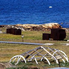
The area shows traces of ancient Inuit settlements that adapted over time to the harsh environment. These early inhabitants used the river valleys as key routes and resource centers, visible today in archaeological finds throughout the park.
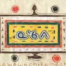
The Inuit communities of the region shape the place through their traditional hunting practices and deep connection with the land. Visitors today can see how this relationship with nature guides daily life and how the territory is used.
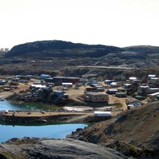
The park is accessible only through organized expeditions starting from the nearby community of Kangiqsualujjuaq. Summer is the best season to visit, when nature is active and travel through the terrain becomes possible.
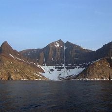
Mount D'Iberville, at 1,646 m the highest peak in eastern continental Canada, rises inside the park on the Quebec–Newfoundland and Labrador border. The park's eastern boundary follows the Torngat Mountains watershed, which is also the provincial border, and adjoins the Torngat Mountains National Park on the Newfoundland and Labrador side.
The community of curious travelers
AroundUs brings together thousands of curated places, local tips, and hidden gems, enriched daily by 94,462 contributors worldwide.