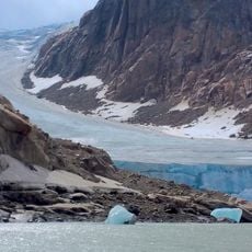
Pingualuit National Park, Arctic nature reserve in Nunavik, Canada.
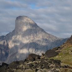
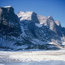
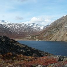
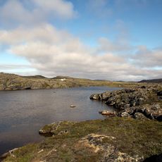
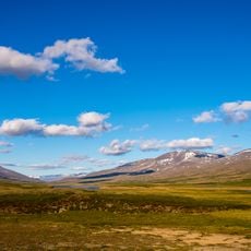
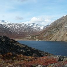
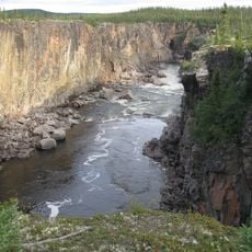
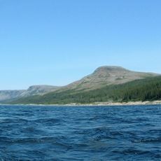
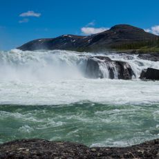
Pingualuit National Park covers 1,133.90 square kilometres of treeless Arctic tundra on the Ungava Peninsula, about 100 kilometres south-west of Kangiqsujuaq. At its centre lies the Pingualuit crater, 3.4 kilometres wide and roughly 1.4 million years old, holding Pingualuk Lake. The land is continuous permafrost where lichens, mosses and sphagnum dominate.
Quebec established this protected area in 2004 after decades of scientific study of the meteorite impact crater. The impact itself happened about 1.4 million years ago and shaped the region's geology.
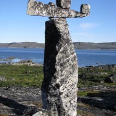
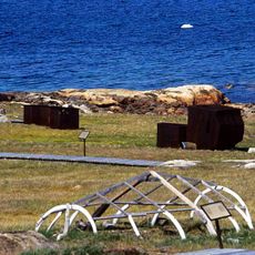
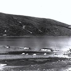
Pingualuit is an Inuktitut word meaning "pimples" or "eruptive buttons", referring to the hills around the crater that resemble acne. The area holds traces of the Nunamiut, inland Inuit who followed caribou herds; stone circles and rock shelters mark their camps, often on high ground such as the crater rim. Their way of life faded as caribou numbers fell in the early 2000s.
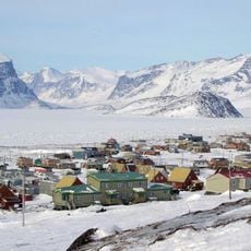
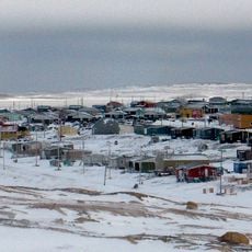
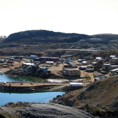
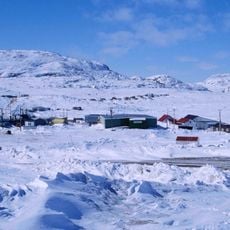
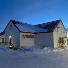
The park is mainly accessible through the Inuit village of Kangiqsujuaq and needs careful planning before a visit. July through September offers the best conditions for hiking with warmer weather, while March to April works for winter activities.
The crater's rim, not the lake, holds the traces: Nunamiut Inuit, who lived only from inland Ungava resources, left stone circles and rock shelters on high ground such as the crater ridge, remains of camps where fires once marked the different hunting groups.
The community of curious travelers
AroundUs brings together thousands of curated places, local tips, and hidden gems, enriched daily by 93,878 contributors worldwide.