Nunatsiavut, Autonomous settlement area in Newfoundland and Labrador, Canada.
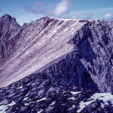
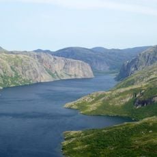
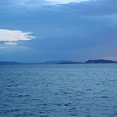
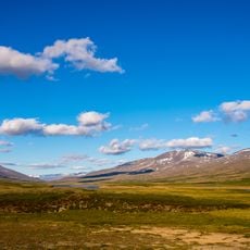
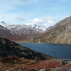
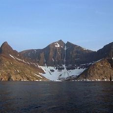
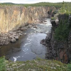
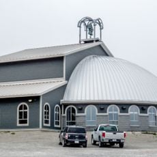
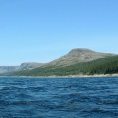
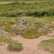
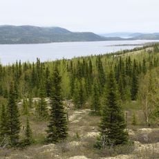
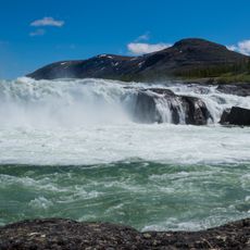
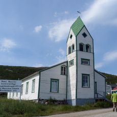
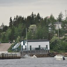
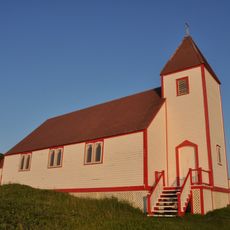
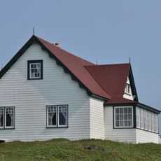
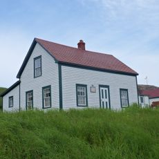
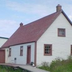
Nunatsiavut is an autonomous administrative region in northern Labrador with five main communities: Nain, Hopedale, Makkovik, Postville, and Rigolet situated along the Atlantic coast. The territory features a rugged coastal landscape with small harbors, traditional wooden buildings, and tundra vegetation that dominates the inland areas.
The territory gained autonomous administrative recognition in 2005 following ratification of the Labrador Inuit Land Claims Agreement between local Inuit leaders and Canadian authorities. This agreement marked a significant turning point in the self-determination of Inuit people in the region.
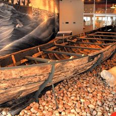
The region maintains strong Inuit traditions through community initiatives, with English and Inuktitut as the primary languages spoken in daily life. This linguistic and cultural continuity shapes how residents interact and preserve their heritage.
Access between settlements relies on scheduled air services and seasonal ferry connections, with no road connections to mainland networks. Visitors should plan flexibility into their schedules and expect longer wait times when traveling between communities.
The governance structure blends modern Canadian parliamentary systems with traditional Inuit leadership methods, with each community led by an Angajukĸâk. This mixing of old and new is visible in how decisions are made and communities operate daily.
The community of curious travelers
AroundUs brings together thousands of curated places, local tips, and hidden gems, enriched daily by 60,000 contributors worldwide.