
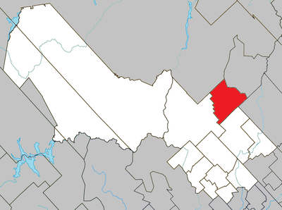
Lac-Masketsi, unorganized area of Quebec, Canada
Location: Mékinac
Shares border with: La Tuque, Lac-aux-Sables, Trois-Rives, Rivière-à-Pierre, Lac-Lapeyrère
GPS coordinates: 47.00000,-72.55000
Latest update: March 24, 2025 02:39
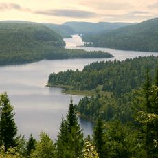
La Mauricie National Park
38.7 km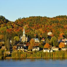
Saint-Jean-des-Piles
37.4 km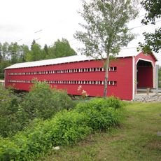
Ducharme Bridge
58.7 km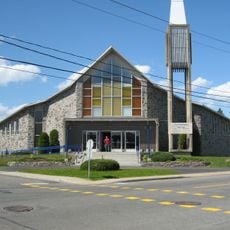
Saint-Georges
42.6 km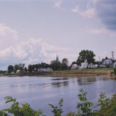
Seigneurie de Batiscan
28.3 km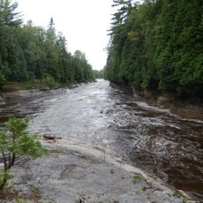
Portneuf Regional Natural Park
36.1 km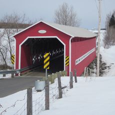
Bordeleau Bridge
36.4 km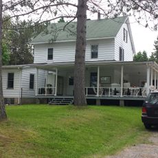
Tavibois
33.1 km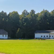
Camp Val Notre-Dame
33.7 km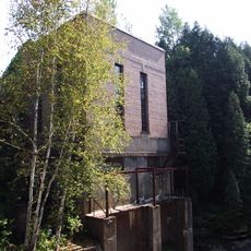
Centrale hydroélectrique de Saint-Alban
48.3 km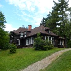
Domaine Wabenaki-Andrew
43.2 km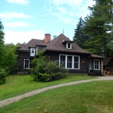
Wabenaki Lodge
43.2 km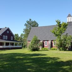
Église Saint-Andrew
51.9 km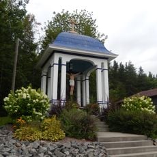
Calvaire du rang Saint-Joseph
29.9 km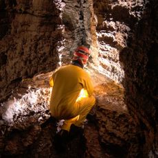
Grotte aux Cascatelles
48 km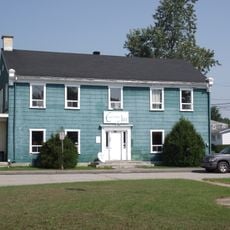
Ancien couvent de Saint-Léonard
50.4 km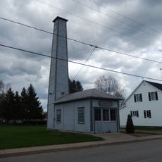
Caserne Patrick-Douville
30.8 km
Réserve de biodiversité projetée de la Vallée-Tousignant
47.3 km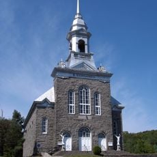
Church of St. Bernardine of Siena
28.2 km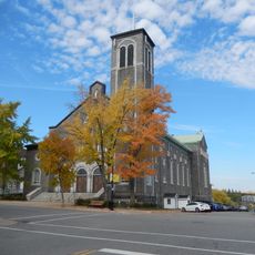
Église Saint-Zéphirin
52.2 km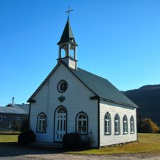
Chapelle Saint-Agricole de Saint-Raymond
53.3 km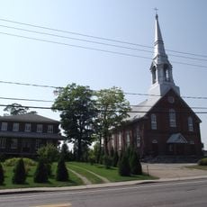
Noyau religieux de Saint-Léonard-de-Portneuf
50.3 km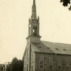
Église de Saint-Ubalde
34.5 km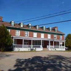
Édifice du Brown Community Club
52.4 km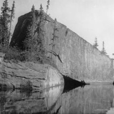
Rocher Steamboat
43.4 km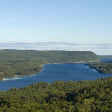
Pointe à la Mine
34.6 km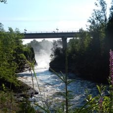
François-Naud Bridge
48.3 km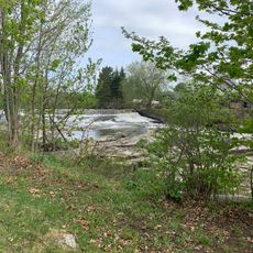
Chute à Goulet
43.4 kmReviews
Visited this place? Tap the stars to rate it and share your experience / photos with the community! Try now! You can cancel it anytime.
Discover hidden gems everywhere you go!
From secret cafés to breathtaking viewpoints, skip the crowded tourist spots and find places that match your style. Our app makes it easy with voice search, smart filtering, route optimization, and insider tips from travelers worldwide. Download now for the complete mobile experience.

A unique approach to discovering new places❞
— Le Figaro
All the places worth exploring❞
— France Info
A tailor-made excursion in just a few clicks❞
— 20 Minutes