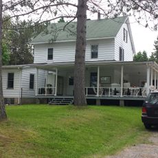
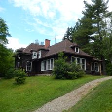
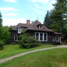
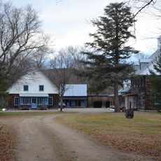
Seigneurie de Batiscan, Historical manor in Saint-Roch-de-Mékinac, Canada.
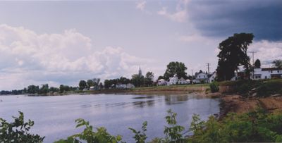
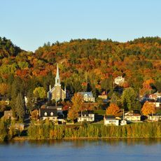
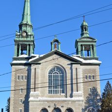
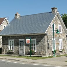
The Seigneurie de Batiscan is a historical manor territory stretching along the north shore of the St. Lawrence River between the Batiscan and Champlain river valleys in Quebec. The land was divided into settler plots and cleared areas, with structures and communities organized following French feudal land management principles.
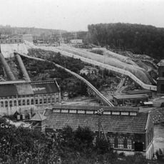
The Jesuits received the territory as a land grant in 1639 and launched a systematic colonization program that accelerated significantly between 1665 and 1674. This period established the foundation for permanent settlements and the development of the seigneurial estate.
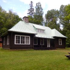
The seigneurial system created a structured social order where landowners and tenants formed close-knit rural communities built on mutual obligation. Local residents shaped their lives around the rhythms of farming and the authority of the manor, making these relationships central to daily existence.
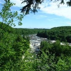
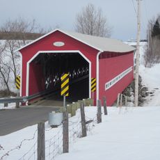
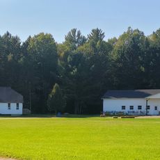
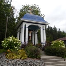
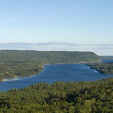
The territory is located along the north bank of the St. Lawrence River in an area defined by waterways and river plains that historically facilitated access and settlement. Many of the historical sites are spread across a wide area and reached by rural roads, so visitors benefit from planning their route in advance.
A powerful earthquake in 1663 reshaped the physical landscape of the region and profoundly altered how settlements developed afterward. This natural event created new geographical features that influenced where people chose to build and farm for generations.
The community of curious travelers
AroundUs brings together thousands of curated places, local tips, and hidden gems, enriched daily by 60,000 contributors worldwide.