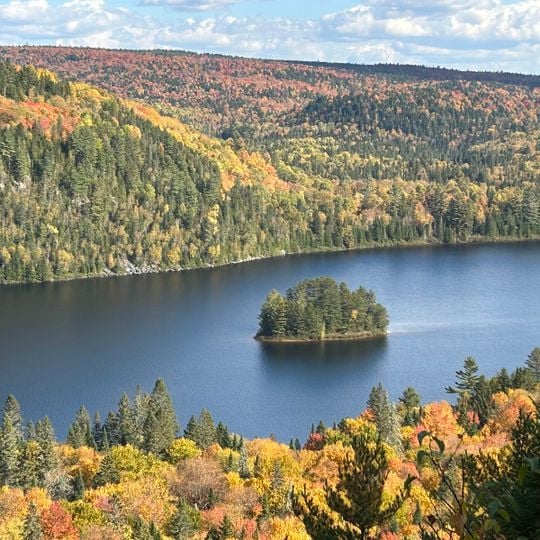
La Mauricie National Park, National park in Shawinigan, Canada.
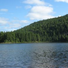
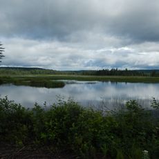
La Mauricie National Park covers 536 km2 of the southern Canadian Shield, from about 150 m near the Saint-Maurice River to nearly 500 m inland. Its plateau of 955-million-year-old metamorphic rock holds about 150 lakes and is crossed from end to end by a 160 km network of hiking trails.
Archaeological findings confirm human settlements during the Archaic period between 7000 and 3000 BC in this area. The Canadian government created the park in 1970 to protect forests and waterways previously threatened by logging and dam construction.
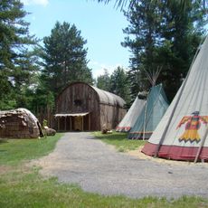
The Atikamekw Nation has known this territory for thousands of years, leaving behind traditional routes and places that remain visible through archaeological sites today. Some lakes and waterways still carry indigenous names linked to old stories and travel routes.
The park territory has two entry points at Saint-Jean-des-Piles and Saint-Mathieu-du-Parc leading to campgrounds and equipment rental locations. Visitors should bring enough water and insect repellent, especially in early summer when mosquitoes are common.
The park's emblem is the common loon, which nests on its lakes; aquatic areas also host goldeneye, merganser and black duck. The forest, logged from the mid-19th to the early 20th century, has regrown as mixed conifer and deciduous cover over 93% of the territory.
The community of curious travelers
AroundUs brings together thousands of curated places, local tips, and hidden gems, enriched daily by 94,960 contributors worldwide.