Chest opened
+${chestReward.xp} XP
Explorer
NOUVEAU ×${chestReward.collectible.quantity}
tapez pour fermer
Chest locked

Open chests in the app

Around Us is built for your phone — chests unlock when you walk, explore and capture nearby places.

Enable Location

We need your location to show you interesting places around you

Discover nearby places

Find interesting locations and hidden gems around you

Precise directions

Get accurate directions and distances to places

Your location is never shared with other users. It's only used when you tap the location button.

Log in to your account

Start exploring — it's free

Trusted by 72,881 travelers worldwide

Continue with Google
Continue with Apple
or

We will send you a code to connect

By continuing, you accept our Terms and Conditions and our Privacy Policy

Check your inbox

We've sent a pincode in your inbox. Please enter the code below.

Cape Sable Island
Discussion Reviews Photo
19.8k Popularity

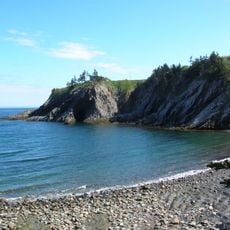
Cape Sable Island, Island at southwestern Nova Scotia, Canada

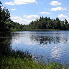
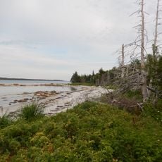
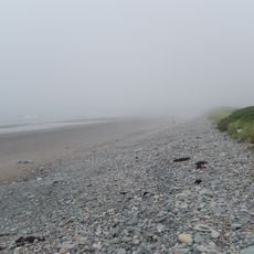
Cape Sable Island is an island at the southernmost point of Nova Scotia's mainland, stretching about 3 miles with sandy shores. A causeway built in 1949 connects it to the mainland, and the community centers around Clark's Harbour and its fishing operations.

Portuguese cartographers recorded this location as Beusablom in the 16th century, while the Mi'kmaq people called it Kespoogwitk, meaning the land's end. The island later became a major center for New England's fishing industry and has maintained that role to the present day.

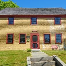
The island is known as the birthplace of the Cape Islander boat design, which was created in 1905 and became the standard for North Atlantic fishing vessels. Local fishing traditions and boat-building skills remain central to the island's identity today.

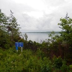
The island is easily accessible by car via a causeway and is best visited during warmer months when road conditions are favorable. It helps to check local weather conditions beforehand, as the island's exposed location means conditions can change quickly.

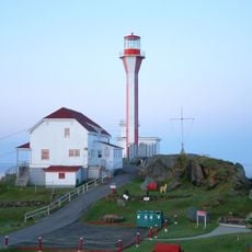
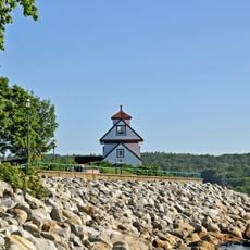
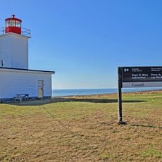
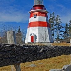
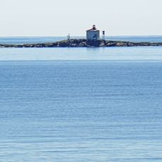
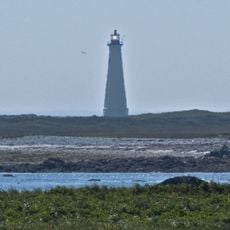
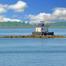
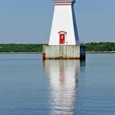
The Cape Sable Lighthouse, standing about 31 meters tall since the 1920s, is Nova Scotia's tallest lighthouse and has weathered countless storms. It serves as both a navigational aid and an architectural landmark visible from far offshore.

The community of curious travelers

AroundUs brings together thousands of curated places, local tips, and hidden gems, enriched daily by 60,000 contributors worldwide.

Start exploring
Location
GPS coordinates
43.45680,-65.61410
Latest update
December 7, 2025 10:06
Reviews
Share your experience

No review yet

Discussions
Start a discussion...

No discussion yet

« Cape Sable Island - Island at southwestern Nova Scotia, Canada » is provided by Around Us (aroundus.com). Images and texts are derived from Wikimedia project under a Creative Commons license. You are allowed to copy, distribute, and modify copies of this page, under the conditions set by the license, as long as this note is clearly visible.

Discover hidden gems everywhere you go!

From secret cafés to breathtaking viewpoints, skip the crowded tourist spots and find places that match your style. Our app makes it easy with voice search, smart filtering, route optimization, and insider tips from travelers worldwide. Download now for the complete mobile experience.

Around Us App Screenshot

A unique approach to discovering new places

Le Figaro

All the places worth exploring

France Info

A tailor-made excursion in just a few clicks

20 Minutes

Around Us
Travel Guide & Maps
Download

Send to your phone

QR Code
1

Open the camera app on your mobile.

2

Point at the QR code with your camera. A notification will appear.

3

Tap the notification to open the link.