West Nipissing

Log in to your account

AroundUs is a community-driven map of interesting places, built by curious explorers like you. It grows with every review, story, and photo you share.
Connect to save your favorite spots, contribute locations, and create personalized routes.
Continue with Google
Continue with Apple
Continue with X
Continue with Facebook
Continue with email
By continuing, you accept our Terms and Conditions and our Privacy Policy
Create an account
Add to collection
Map
Suggest a change
Share

West Nipissing, Single-tier municipality in Nipissing District, Ontario, Canada

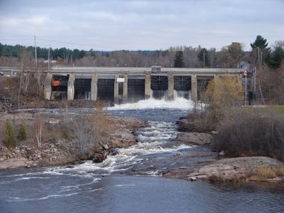
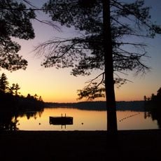
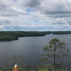
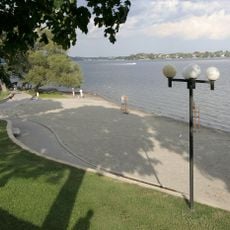
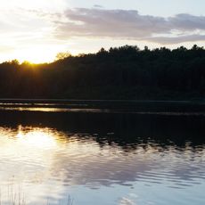
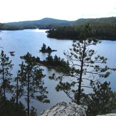
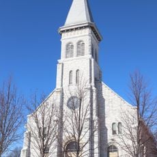
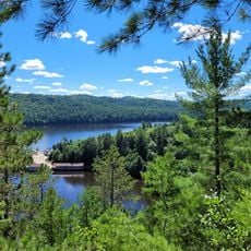
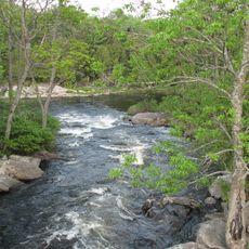
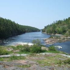
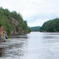
West Nipissing is a single-tier municipality in Nipissing District, Ontario, that encompasses lakes, forests, and several communities such as Sturgeon Falls, Cache Bay, Garden Village, Crystal Falls, and Verner. The landscape features waterways and a mix of rural settlements set among natural surroundings.

This municipality was established on January 1, 1999, through the merger of seventeen and a half former towns, villages, townships, and unorganized communities in Ontario. This major consolidation created the region's present administrative structure.

The N'Biissing Anishinabek people have deep roots here, and the Nipissing First Nation continues to shape the area's heritage and identity. Their presence is woven into the local names, customs, and everyday life of the region.

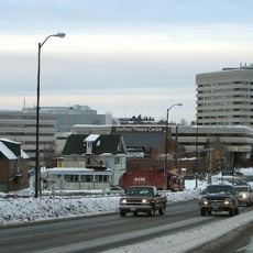
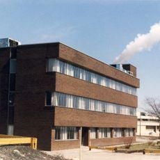
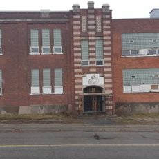
Municipal services are centered in Sturgeon Falls, where the administration building is located and can be reached by phone. This is the main hub for visitor information and local services throughout the region.

A historic trading post called Fort La Ronde once operated on a Lake Nipissing island and served as a key commerce hub for indigenous peoples in the late 1700s. This remote outpost became an important link in the region's fur trade network.

Location: Nipissing District

Inception: January 1, 1999

Shares border with: Unorganized North Nipissing District, French River, Unorganized Centre Parry Sound District, Nipissing, St. Charles

Website: https://westnipissingouest.ca

GPS coordinates: 46.37044,-79.92485

Latest update: December 7, 2025 19:32

Photos
Reviews

Visited this place? Tap the stars to rate it and share your experience / photos with the community! Try now! You can cancel it anytime.

« West Nipissing - Single-tier municipality in Nipissing District, Ontario, Canada » is provided by Around Us (aroundus.com). Images and texts are derived from Wikimedia project under a Creative Commons license. You are allowed to copy, distribute, and modify copies of this page, under the conditions set by the license, as long as this note is clearly visible.

Discover hidden gems everywhere you go!

From secret cafés to breathtaking viewpoints, skip the crowded tourist spots and find places that match your style. Our app makes it easy with voice search, smart filtering, route optimization, and insider tips from travelers worldwide. Download now for the complete mobile experience.

Around Us App Screenshot

A unique approach to discovering new places

Le Figaro

All the places worth exploring

France Info

A tailor-made excursion in just a few clicks

20 Minutes