Meductic Indian Village / Fort Meductic, Archaeological site and national historic site in Woodstock Parish, Canada
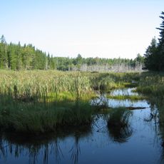
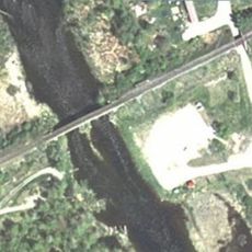
Meductic Indian Village, also known as Fort Meductic, is a national historic site and archaeological site in Woodstock Parish, New Brunswick, Canada. It once stood on a raised plateau at the point where the Eel River meets the Saint John River.
The site was the main settlement of the Maliseet from the early 17th century and became the leading fur trading point in the region during that period. It was gradually abandoned around the mid-18th century as conditions in the area shifted.
The Maliseet people farmed this land, growing crops in soil enriched by spring floods each year. This practice shaped the way they organized their daily life along the river.
The remains of the settlement now lie underwater following the construction of the Mactaquac dam in the 1960s, so the site cannot be visited in person. Background information about it can be found through local heritage resources and ongoing research.
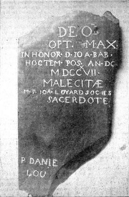
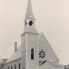
A small chapel called Saint Jean Baptiste, built in 1717, stood here and is among the earliest known church buildings in New Brunswick. Its presence at this location shows how religious life was already taking shape in the region well before European settlement became widespread.
The community of curious travelers
AroundUs brings together thousands of curated places, local tips, and hidden gems, enriched daily by 60,000 contributors worldwide.