York Centre, Federal electoral district in Toronto, Canada.
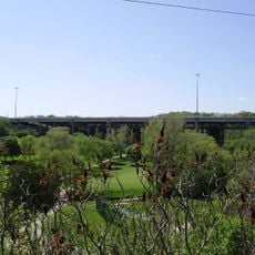
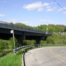
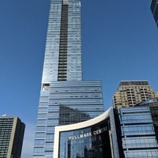
York Centre is a federal electoral district that stretches from Toronto's northern city limit down to Highway 401, taking in neighborhoods such as Westminster-Branson, Bathurst Manor, and Wilson Heights. The area is marked by clear boundaries formed by Keele Street, Grandravine Drive, Black Creek, Sheppard Avenue West, and Highway 401.
The district was formed in 1952 when portions of existing ridings merged together, though it had been temporarily dissolved in 1914. It was restored to address the changing needs for regional representation in Toronto.
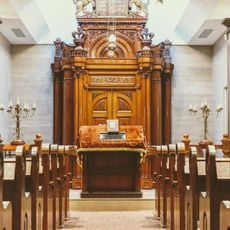
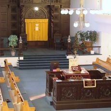
The district draws strength from its diverse communities who have shaped local businesses, places of worship, and neighborhood institutions over decades. Walking through, you notice how different cultural groups have woven their traditions into the fabric of daily street life.
The district can be explored on public streets and is positioned between easily recognizable features like Highway 401 and major roads. Knowing these boundaries beforehand helps with navigation if you plan to walk or use public transportation to explore the neighborhoods.
The name York Centre has been used multiple times throughout Ontario's electoral history, each time representing a different area on the map. This layered history makes the present-day district an example of how political boundaries have shifted to match the region's growth.
The community of curious travelers
AroundUs brings together thousands of curated places, local tips, and hidden gems, enriched daily by 60,000 contributors worldwide.