
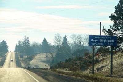
Grey Highlands, municipality in Ontario, Canada
Location: Grey County
Shares border with: Meaford
Website: http://greyhighlands.ca
GPS coordinates: 44.33330,-80.50000
Latest update: April 4, 2025 23:01
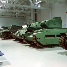
Base Borden Military Museum
48.6 km
Mono Cliffs Provincial Park
46.5 km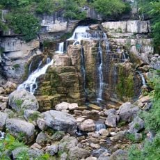
Inglis Falls
40.6 km
Craigleith Provincial Park
25.6 km
Ayton
46.8 km
Chatsworth
34.2 km
Hockley Valley Provincial Nature Reserve
52.2 km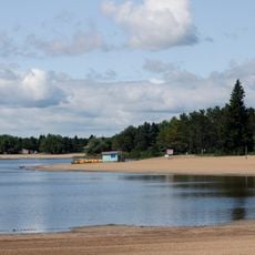
Earl Rowe Provincial Park
51.3 km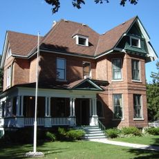
Billy Bishop Home and Museum
44 km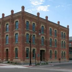
Tremont House
29.4 km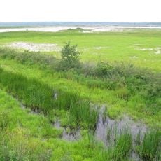
Tiny Marsh Provincial Wildlife Area
54 km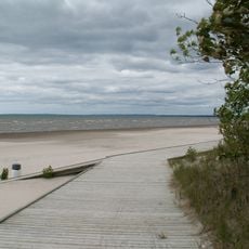
Wasaga Beach Provincial Park
42 km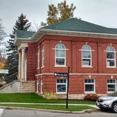
Shelburne Public Library
36.8 km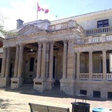
Federal Building
29.2 km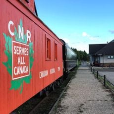
Community Waterfront Heritage Centre
44.2 km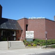
Tom Thomson Art Gallery
43.7 km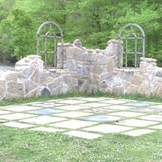
Black History Cairn (Owen Sound, Ontario)
42.1 km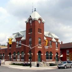
Mount Forest Town Hall
43.4 km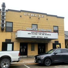
Circle Theatre
54.2 km
Glengarry Landing
49.5 km
Eugenia Falls
3.1 km
Allan Park Conservation Area
39.7 km
Sulphur Spring Conservation Area
46.6 km
Shelburne Town Hall
37 km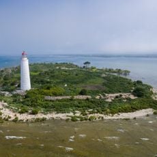
Nottawasaga Island Light
29.8 km
1005 2nd Avenue East
43.8 km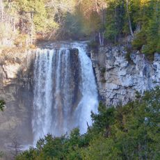
Eugenia Falls Conservation Area
3 km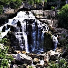
Inglis Falls Conservation Area
40.1 kmVisited this place? Tap the stars to rate it and share your experience / photos with the community! Try now! You can cancel it anytime.
Discover hidden gems everywhere you go!
From secret cafés to breathtaking viewpoints, skip the crowded tourist spots and find places that match your style. Our app makes it easy with voice search, smart filtering, route optimization, and insider tips from travelers worldwide. Download now for the complete mobile experience.

A unique approach to discovering new places❞
— Le Figaro
All the places worth exploring❞
— France Info
A tailor-made excursion in just a few clicks❞
— 20 Minutes