
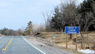
Central Frontenac, township in Ontario, Canada
Location: Frontenac County
Shares border with: Lanark Highlands, Tay Valley
Website: https://centralfrontenac.com
GPS coordinates: 44.71670,-76.80000
Latest update: March 18, 2025 12:25

Bon Echo Provincial Park
42.7 km
Frontenac Provincial Park
32.3 km
Mazinaw Rock
36.5 km
Jones Falls Dam
48.3 km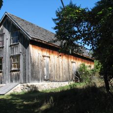
Murphys Point Provincial Park
46.5 km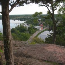
Foley Mountain Conservation Area
33 km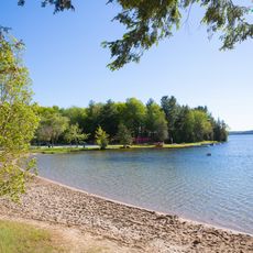
Silver Lake Provincial Park
21.7 km
Sharbot Lake Provincial Park
8.9 km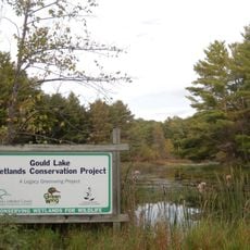
Gould Lake Conservation Area
32 km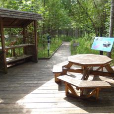
Purdon Conservation Area
36.8 km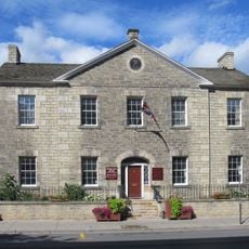
Matheson House
48 km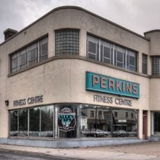
Perkins Motors
47.8 km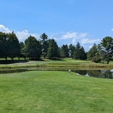
Evergreen Golf Course
26.9 km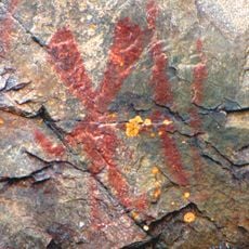
Mazinaw Pictographs
36.8 km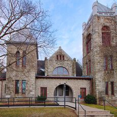
Elgin United Church
47.6 km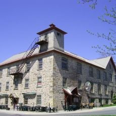
Code's Mill
47.9 km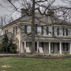
Haggart House
47.7 km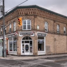
2-6 Wilson Street East
47.8 km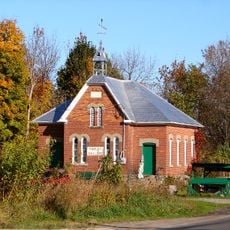
Crosby School
43.4 km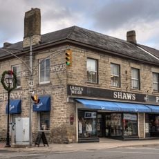
Roderick Matheson Building (Shaw's of Perth)
48 km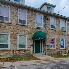
43-45 North Street
47.9 km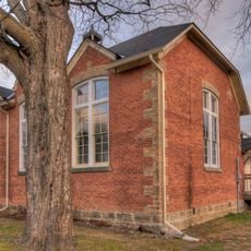
Red Brick School
47.6 km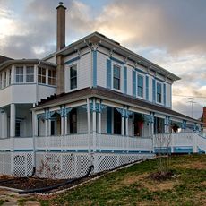
Guthrie House
47.3 km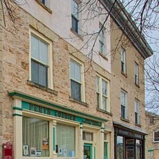
Roderick Matheson Building (Kellock Block 1)
48 km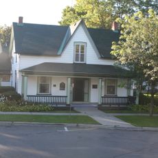
Gemmill House
48 km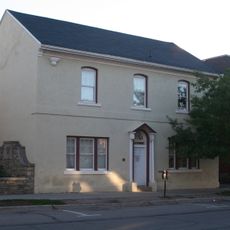
Former Perth Public Utilities Commission Building
48 km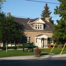
Doctor's House
47.8 km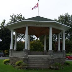
Bandstand
48 kmReviews
Visited this place? Tap the stars to rate it and share your experience / photos with the community! Try now! You can cancel it anytime.
Discover hidden gems everywhere you go!
From secret cafés to breathtaking viewpoints, skip the crowded tourist spots and find places that match your style. Our app makes it easy with voice search, smart filtering, route optimization, and insider tips from travelers worldwide. Download now for the complete mobile experience.

A unique approach to discovering new places❞
— Le Figaro
All the places worth exploring❞
— France Info
A tailor-made excursion in just a few clicks❞
— 20 Minutes