
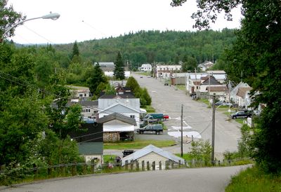
McGarry, township municipality in Ontario, Canada
Location: Timiskaming District
Elevation above the sea: 327 m
Shares border with: Unorganized East Timiskaming District, Larder Lake, Unorganized West Timiskaming District
Website: http://mcgarry.ca
GPS coordinates: 48.14639,-79.57056
Latest update: March 5, 2025 03:36

Aréna Glencore
42.5 km
Le Petit Théâtre du Vieux Noranda
42.7 km
Aiguebelle National Park
73.9 km
T.-E.-Draper
70.7 km
Kirkland Lake Miners' Memorial
35.5 km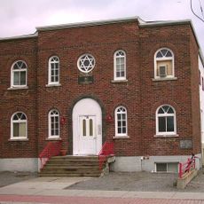
Rouyn-Noranda Synagogue
42.4 km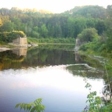
Kap-Kig-Iwan Provincial Park
45.6 km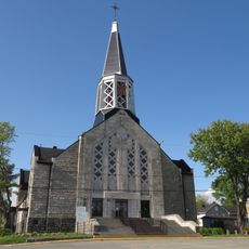
Saint Joseph Cathedral
41.8 km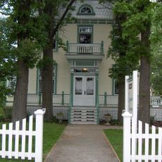
Domaine Breen
76.5 km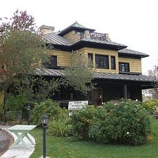
Museum of Northern History
35.5 km
Vieux-Arbres Ecological Reserve
42.4 km
Chantier Gédéon
70.7 km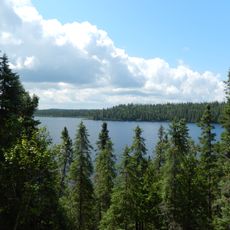
Réserve de biodiversité des Lacs-Vaudray-et-Joannès
65.2 km
Église Saint-Georges
41.6 km
Dumulon's General Store
42.5 km
Pont de l’Île
61.9 km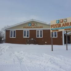
Fossilarium de Notre-Dame-du-Nord
62 km
Pont Dénommée
74.7 km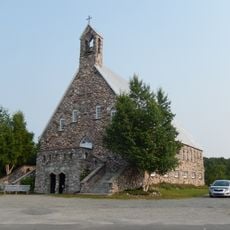
Site patrimonial de Rapide-Danseur
49.4 km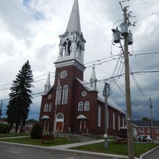
Église Saint-Joseph-de-Notre-Dame-du-Nord
62 km
Gem Lake Maple Bedrock Provincial Park
7.3 km
Moulin à aubes
50.7 km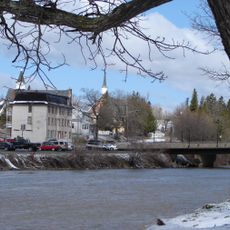
Wabi Creek
71.4 km
Maison Lavigne
78.4 km
Site patrimonial de la Maison-Dumulon
42.5 km
École centrale d'Angliers
71 km
Rouyn-Noranda Armoury
42.3 km
Manoir Bordeleau
78 kmReviews
Visited this place? Tap the stars to rate it and share your experience / photos with the community! Try now! You can cancel it anytime.
Discover hidden gems everywhere you go!
From secret cafés to breathtaking viewpoints, skip the crowded tourist spots and find places that match your style. Our app makes it easy with voice search, smart filtering, route optimization, and insider tips from travelers worldwide. Download now for the complete mobile experience.

A unique approach to discovering new places❞
— Le Figaro
All the places worth exploring❞
— France Info
A tailor-made excursion in just a few clicks❞
— 20 Minutes