
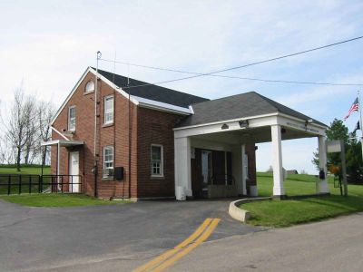
Alburg Springs-Clarenceville Border Crossing
Alburg Springs-Clarenceville Border Crossing, point d'entrée de la frontière entre le Canada et les États-Unis
Location: Clarenceville
Location: Alburgh
Part of: Canada–United States border
Website: http://cbp.gov/xp/cgov/toolbox/contacts/ports/vt/0212.xml
GPS coordinates: 45.01300,-73.21220
Latest update: March 13, 2025 16:20
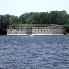
Fort Montgomery
10.8 km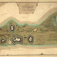
Île aux Noix
12.9 km
Rouses Point–Lacolle 223 Border Crossing
12.5 km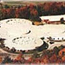
Missisquoi Valley Union Middle/High School
12.8 km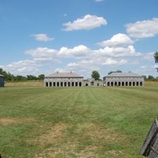
Fort Lennox
12.8 km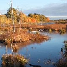
Missisquoi National Wildlife Refuge
6.3 km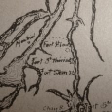
Fort Sainte Anne
16.5 km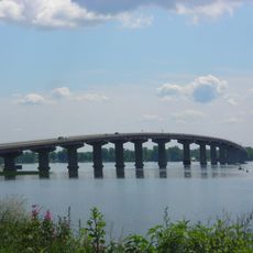
Rouses Point Bridge
10.8 km
Lacolle Mills Blockhouse
12 km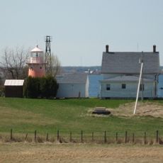
Isle La Motte Light
15.7 km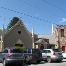
Holy Trinity Episcopal Church
12.7 km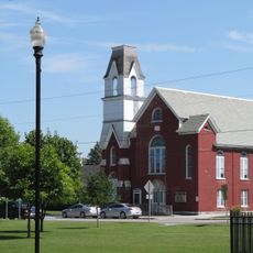
Methodist Episcopal Church
12.6 km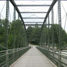
Douglas & Jarvis Patent Parabolic Truss Iron Bridge
15.6 km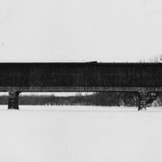
Swanton Covered Railroad Bridge
15.6 km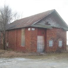
Rutland Railroad Pumping Station
8.8 km
Swanton School
12.8 km
Église anglicane Saint-Saviour (Lacolle, Quebec)
14.8 km
Église Saint-George de Clarenceville
6.3 km
Église d'Odelltown
14.1 km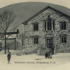
Philipsburg United Church
11.4 km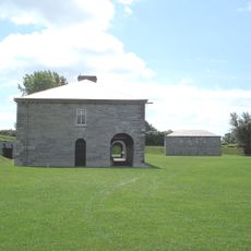
Officers' Quarters
12.8 km
1, rue de l'Église Sud
14.7 km
Site patrimonial Obed-Stott
15.5 km
North Magazine
12.8 km
Powder Magazine
12.9 km
Guardhouse
12.8 km
Fort Lennox Barracks
12.8 km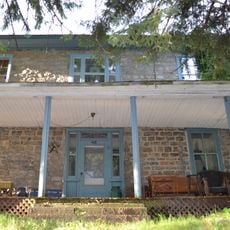
48, rue Van Vliet
14.5 kmVisited this place? Tap the stars to rate it and share your experience / photos with the community! Try now! You can cancel it anytime.
Discover hidden gems everywhere you go!
From secret cafés to breathtaking viewpoints, skip the crowded tourist spots and find places that match your style. Our app makes it easy with voice search, smart filtering, route optimization, and insider tips from travelers worldwide. Download now for the complete mobile experience.

A unique approach to discovering new places❞
— Le Figaro
All the places worth exploring❞
— France Info
A tailor-made excursion in just a few clicks❞
— 20 Minutes