Chest opened
+${chestReward.xp} XP
Explorer
NOUVEAU ×${chestReward.collectible.quantity}
tapez pour fermer
Chest locked

Open chests in the app

Around Us is built for your phone — chests unlock when you walk, explore and capture nearby places.

Enable Location

We need your location to show you interesting places around you

Discover nearby places

Find interesting locations and hidden gems around you

Precise directions

Get accurate directions and distances to places

Your location is never shared with other users. It's only used when you tap the location button.

Log in to your account

Start exploring — it's free

Trusted by 72,894 travelers worldwide

Continue with Google
Continue with Apple
or

We will send you a code to connect

By continuing, you accept our Terms and Conditions and our Privacy Policy

Check your inbox

We've sent a pincode in your inbox. Please enter the code below.

Discussion Reviews Photo
11.1k Popularity

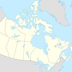
Laurentian Upland, Geographic region in eastern Canada

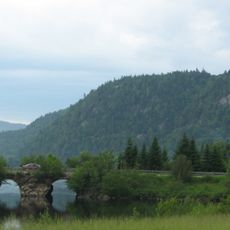
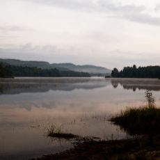
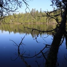
The Laurentian Upland is a hilly region in eastern Canada covered with ancient rock formations from the Precambrian era. It spans across Quebec and Ontario, with elevations ranging from 240 to 425 meters (790 to 1,395 ft), though Mont Raoul Blanchard rises to approximately 1,166 meters (3,825 ft).

The region formed roughly one billion years ago during the Grenville orogeny, a major geological event that shaped its ancient bedrock. This makes it among the oldest and most geologically stable parts of North America, predating the ice ages by hundreds of millions of years.

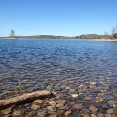
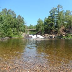
The name comes from Saint Lawrence, the patron of the nearby Saint Lawrence River that flows through the landscape. Local communities have long used the forests and waterways for hunting, fishing, and outdoor recreation.

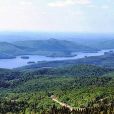
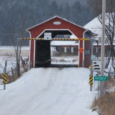
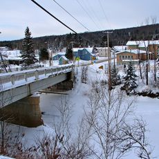
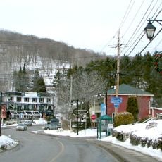
The region extends from the Gatineau River in the west to the Saguenay River in the northeast, with numerous hiking trails and outdoor access points throughout. Visitors should prepare for variable weather conditions, particularly during winter when snow covers much of the terrain.

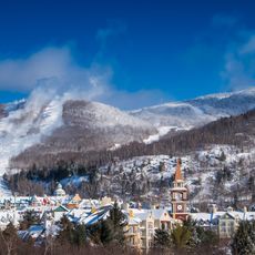
North America's first ski lift was built here in 1931, pioneering mechanized winter sports across the continent. This early installation transformed the hillside into a destination for a new form of recreation.

The community of curious travelers

AroundUs brings together thousands of curated places, local tips, and hidden gems, enriched daily by 60,000 contributors worldwide.

Start exploring
GPS coordinates
46.43333,-74.98333
Latest update
December 8, 2025 13:43
Reviews
Share your experience

No review yet

Discussions
Start a discussion...

No discussion yet

« Laurentian Upland - Geographic region in eastern Canada » is provided by Around Us (aroundus.com). Images and texts are derived from Wikimedia project under a Creative Commons license. You are allowed to copy, distribute, and modify copies of this page, under the conditions set by the license, as long as this note is clearly visible.

Discover hidden gems everywhere you go!

From secret cafés to breathtaking viewpoints, skip the crowded tourist spots and find places that match your style. Our app makes it easy with voice search, smart filtering, route optimization, and insider tips from travelers worldwide. Download now for the complete mobile experience.

Around Us App Screenshot

A unique approach to discovering new places

Le Figaro

All the places worth exploring

France Info

A tailor-made excursion in just a few clicks

20 Minutes

Around Us
Travel Guide & Maps
Download

Send to your phone

QR Code
1

Open the camera app on your mobile.

2

Point at the QR code with your camera. A notification will appear.

3

Tap the notification to open the link.