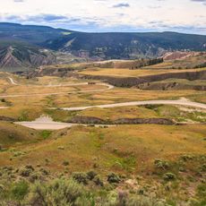
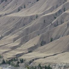
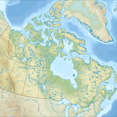
Alkali Rapids, rapids in British Columbia, Canada
Location: British Columbia
Elevation above the sea: 530 m
GPS coordinates: 51.71651,-122.35276
Latest update: November 21, 2025 09:59

Farwell Canyon
19.7 km
Churn Creek Protected Area
30.7 km
Lac La Hache Provincial Park
51.7 km
Junction Sheep Range Provincial Park
10.5 km
Moose Valley Provincial Park
49.1 km
Big Creek Canyon
27.2 km
Big Creek Ecological Reserve
27 km
Dante's Inferno Provincial Park
40.7 km
Doc English Bluff Ecological Reserve
25.5 km
Fraser River Breaks Provincial Park
54.6 km
Golden Rapids
21.6 km
Cariboo Nature Provincial Park
50.9 km
Becher's Prairie Provincial Park
29.6 km
Copper Johnny Provincial Park
47.8 km
Railroad Rapids
5.9 km
Gaspard Rapids
17.3 km
McEwen Rapids
1.9 km
Riske Creek Reservoir
31 km
Iron Rapids
17.1 km
Cut Rapids
30.5 km
Old Bridge Rapids
52 km
Westwick Lakes Ecological Reserve
33 km
Caboose Rapids
5.9 km
Farwell Rapids
19.8 km
Big Basin Provincial Park
42.9 km
Farwell Dunes Trailhead
19 km
Station House Gallery
48 km
Hanceville Lookout Rest Area
50.1 kmReviews
Visited this place? Tap the stars to rate it and share your experience / photos with the community! Try now! You can cancel it anytime.
Discover hidden gems everywhere you go!
From secret cafés to breathtaking viewpoints, skip the crowded tourist spots and find places that match your style. Our app makes it easy with voice search, smart filtering, route optimization, and insider tips from travelers worldwide. Download now for the complete mobile experience.

A unique approach to discovering new places❞
— Le Figaro
All the places worth exploring❞
— France Info
A tailor-made excursion in just a few clicks❞
— 20 Minutes