
Farwell Rapids, rapids in British Columbia, Canada
Location: British Columbia
Elevation above the sea: 469 m
GPS coordinates: 51.83313,-122.56954
Latest update: March 3, 2025 20:46
108 Mile Ranch
84.8 km
Bridge River
104.4 km
Lone Butte
100.2 km
Birkenhead Lake Provincial Park
139.7 km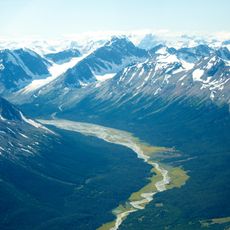
Ts'ilʔos Provincial Park
124 km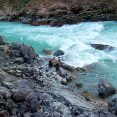
Chilcotin River
92.2 km
Marble Canyon
127.2 km
Carpenter Lake
109.5 km
Chasm Provincial Park
107 km
Canim Falls
136 km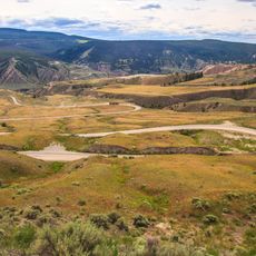
Farwell Canyon
176 m
Spruce Lake Protected Area
91.5 km
Churn Creek Protected Area
46.9 km
South Chilcotin Mountains Provincial Park
95.5 km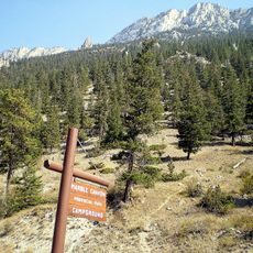
Marble Canyon Provincial Park
122.8 km
Green Lake Provincial Park
106 km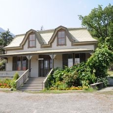
Miyazaki House
134.3 km
Bridge of the Twenty-Three Camels
135.5 km
Canim Beach Provincial Park
117.2 km
Bridge Lake Provincial Park
134.8 km
Bridge River Rapids
128.5 km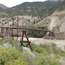
Lillooet Suspension Bridge
133 km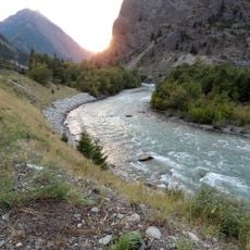
Seton River
131.4 km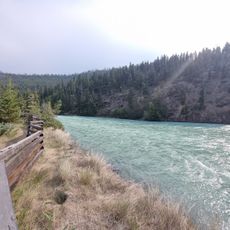
Bull Canyon Provincial Park
62.3 km
Ten Mile Lake Provincial Park
138.4 km
Big Creek Canyon
8 km
Rainbow/Q'iwentem Provincial Park
123.5 km
French Bar Canyon
74.5 kmReviews
Visited this place? Tap the stars to rate it and share your experience / photos with the community! Try now! You can cancel it anytime.
Discover hidden gems everywhere you go!
From secret cafés to breathtaking viewpoints, skip the crowded tourist spots and find places that match your style. Our app makes it easy with voice search, smart filtering, route optimization, and insider tips from travelers worldwide. Download now for the complete mobile experience.

A unique approach to discovering new places❞
— Le Figaro
All the places worth exploring❞
— France Info
A tailor-made excursion in just a few clicks❞
— 20 Minutes