
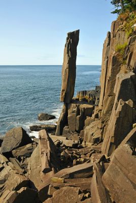
Balancing Rock
Location: Municipality of the District of Digby
GPS coordinates: 44.36290,-66.22432
Latest update: March 2, 2025 22:32
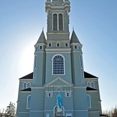
Église Sainte-Marie, Church Point, Nova Scotia
9.2 km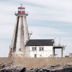
Gannet Rock Lighthouse
47.2 km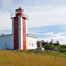
Point Prim Lighthouse
50.4 km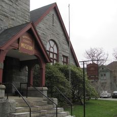
Yarmouth County Museum & Archives
59.2 km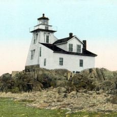
Grand Harbour Lighthouse
53.7 km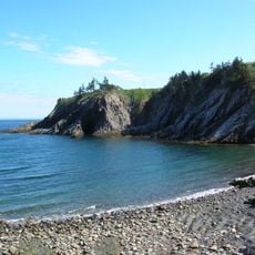
Smuggler's Cove Provincial Park
21.7 km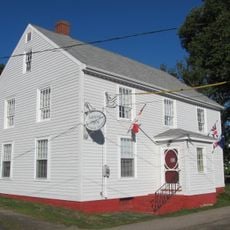
Admiral Digby Museum
47 km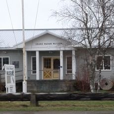
Grand Manan Museum
56 km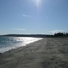
The Anchorage Provincial Park
56.7 km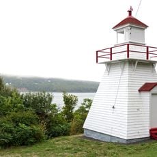
Victoria Beach Lighthouse
51.1 km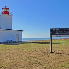
Cape St. Marys Lighthouse
30.9 km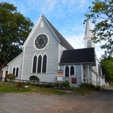
Trinity Anglican Church
46.9 km
Mavillette Beach Provincial Park
30.5 km
Long Point Lighthouse
47.6 km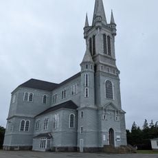
Église catholique Sainte-Marie
9.2 km
Savary Provincial Park
30.2 km
Frost Park
58.9 km
Bear River light
51.3 km
Boar's Head light
4.6 km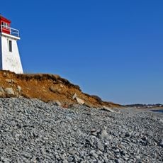
Church Point lighthouse
8.6 km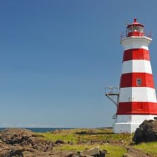
Brier Island Lighthouse
18.4 km
Grand Passage light
12.6 km
Digby Gut Lighthouse
51.6 km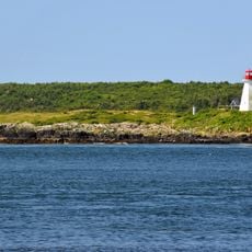
Peter Island lighthouse
14.9 km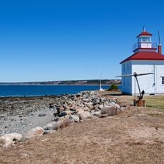
Gilbert's Cove Lighthouse
26.1 km
Seal Cove Smoked Herring Stands
58.4 km
Point Prim Lighthouse
50.4 km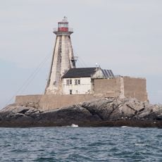
Former Lightkeeper's Residence
47.2 kmReviews
Visited this place? Tap the stars to rate it and share your experience / photos with the community! Try now! You can cancel it anytime.
Discover hidden gems everywhere you go!
From secret cafés to breathtaking viewpoints, skip the crowded tourist spots and find places that match your style. Our app makes it easy with voice search, smart filtering, route optimization, and insider tips from travelers worldwide. Download now for the complete mobile experience.

A unique approach to discovering new places❞
— Le Figaro
All the places worth exploring❞
— France Info
A tailor-made excursion in just a few clicks❞
— 20 Minutes