Carp Hills, Conservation area in Carp, Canada.
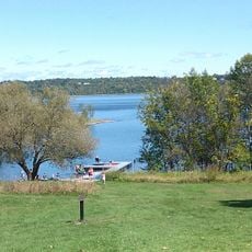
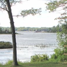
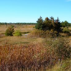
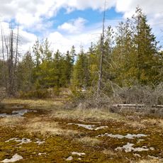
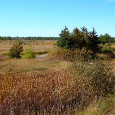
The Carp Hills are a small range of rocky hills running from Kinburn Side Road southeast to the village of Carp and March Road, between the Carp River and Constance Creek. The ridge is an outcrop of Precambrian gneiss, granite and marble, an extension of the Canadian Shield with rocky barrens, marshes, shallow ponds and mature forest across roughly 4,000 hectares.
The geological structure formed hundreds of millions of years ago from crystalline rock like granite and gneiss, which remains visible on the surface. The landscape was later shaped by ice age forces, and you can still see the marks of those ancient natural processes.
The name comes from the village of Carp at its southeastern end, and the ridge is used for hiking, hunting, cross-country skiing and snowmobiling. Three named routes cross it: the 3 km Carp Barrens Trail south of Thomas Dolan Parkway, the 6.2 km Crazy Horse loop from March Road, and paths at Hidden Lake Park in Carp.
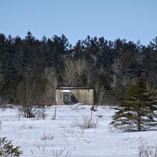
The area has multiple marked trails and paths for walking, skiing, and other outdoor activities throughout the seasons. It is helpful to wear sturdy footwear and watch the weather, as the terrain is uneven and can be harder to navigate depending on the time of year.
The land hosts a remarkable variety of plants and animals, including many orchid species and different forest types of varying ages and heights. This mixture of different habitats makes it an especially rich place for nature observation.
The community of curious travelers
AroundUs brings together thousands of curated places, local tips, and hidden gems, enriched daily by 93,566 contributors worldwide.