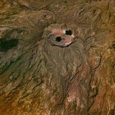
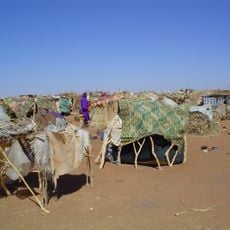
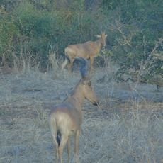
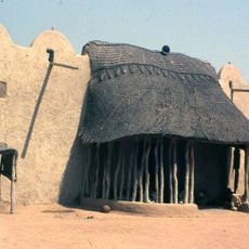
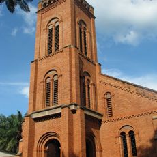
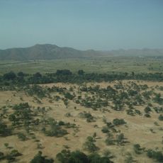
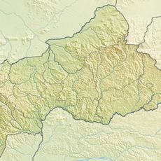
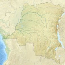
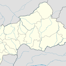
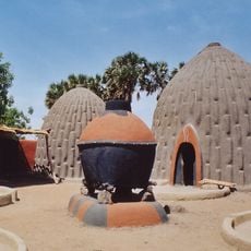
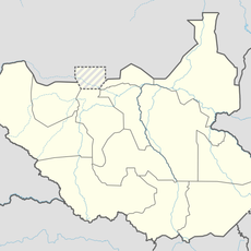
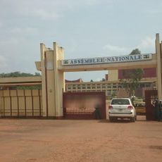
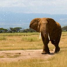
Bamingui-Bangoran Prefecture, prefecture of the Central African Republic
Location: Central African Republic
Capital city: N'Délé
Elevation above the sea: 633 m
Shares border with: Vakaga Prefecture, Haute-Kotto Prefecture, Ouaka Prefecture, Nana-Grébizi Economic Prefecture
GPS coordinates: 8.41667,20.66667
Latest update: March 3, 2025 22:40
Marrah Mountains
695.7 km
South Darfur State
555.6 km
Zakouma National Park
292.8 km
Lamidat de Rey-Bouba
715.4 km
Cathédrale Notre-Dame (Bangui)
506.3 km
Manovo-Gounda St. Floris National Park
92.2 km
Mont Ngaoui
656.6 km
Yao
599.2 km
Chutes de Boali
489.2 km
St. Peter Claver Cathedral, Bangassou
472.3 km
Goz Beïda National Park
423.8 km
Mbaéré Bodingué National Park
640.6 km
Mbéré Valley National Park
666.7 km
Domaine de chasse de Bili-Uere
672.9 km
Sacred Heart Cathedral, Moundou
503.8 km
Bridge of Taiwan
733.1 km
Chutes de Lancrenon
618 km
Plaine de Massenya
581.4 km
Gribingui Bamingui Faunal Reserve
178.2 km
Obnoha
318.2 km
Cathedral of Sts. Peter and Paul, Pala
642.5 km
Bouar megaliths
661 km
Bouar Sub-Prefecture
634.9 km
Chutes de Djamila
617.4 km
Cases obus de Mourla
670.4 km
Fertit
587.4 km
National Assembly of the Central African Republic building
504.7 km
Manda National Park
314.4 kmReviews
Visited this place? Tap the stars to rate it and share your experience / photos with the community! Try now! You can cancel it anytime.
Discover hidden gems everywhere you go!
From secret cafés to breathtaking viewpoints, skip the crowded tourist spots and find places that match your style. Our app makes it easy with voice search, smart filtering, route optimization, and insider tips from travelers worldwide. Download now for the complete mobile experience.
A unique approach to discovering new places❞
— Le Figaro
All the places worth exploring❞
— France Info
A tailor-made excursion in just a few clicks❞
— 20 Minutes