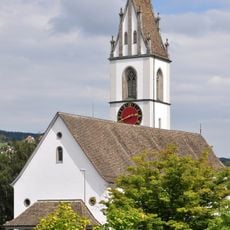
Pfannenstiel, Mountain summit in Zürich, Switzerland.
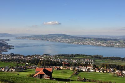
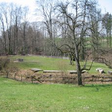
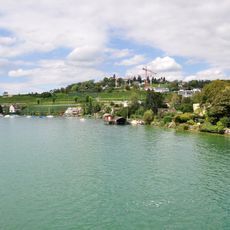
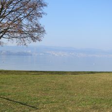
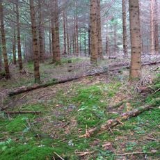
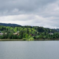
Pfannenstiel is a forested summit in the canton of Zurich, rising to around 850 meters (2,790 feet) above sea level and overlooking Lake Zurich to the west. Several hiking trails cross the slopes and connect the summit to surrounding villages such as Egg, Erlenbach, and Küsnacht.
The name Pfannenstiel first appeared in written records in 1333, when the summit was used as a signal station. A pan placed at the top was filled with fire to send messages across long distances to neighboring regions.
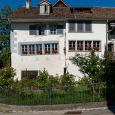
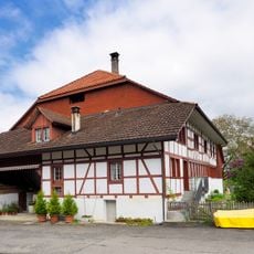
The name Pfannenstiel comes from the German word for pan handle, referring to the pan once used to send fire signals from the top. Today, people from nearby towns use the trails on weekends for walks and picnics in the forest.
The Forchbahn train from Zurich Stadelhofen station brings you close to the trailheads, and the S-Bahn also serves several nearby villages along the lake. Boat services on Lake Zurich offer another way to reach the area, with the option to walk up from the shore.
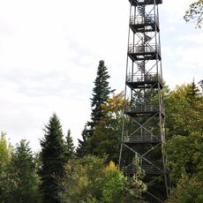
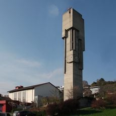
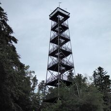
The observation tower at the top was dismantled from another mountain and rebuilt here in 1992, making it a structure that has literally traveled between peaks. On a clear day, the view from the tower reaches the Alps on one side and the Black Forest in Germany on the other.
The community of curious travelers
AroundUs brings together thousands of curated places, local tips, and hidden gems, enriched daily by 60,000 contributors worldwide.