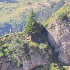
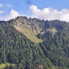
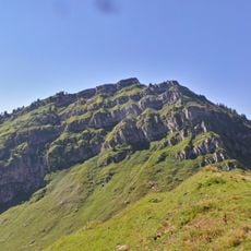
Speer, Mountain summit in canton St. Gallen, Switzerland
The Speer is a mountain in the Appenzell Alps of canton St. Gallen, reaching 1,950.5 metres as Europe's highest Nagelfluh (conglomerate) peak. Its pointed, spear-like profile is visible from far around, and it stands above the Toggenburg valley, the Linth Plain and Lake Walen. Marked T3 trails lead up from the Toggenburg and from Amden; the north-edge route is a steep via ferrata with wire ropes.
The region around the mountain has long served as an important connection between different mountain villages and valleys in the canton of St. Gallen. For centuries, the slopes acted as transportation routes that shaped settlement patterns across this alpine area.
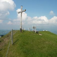
The Speer's pointed silhouette appears on the horizon of many surrounding municipalities, several of which have a Speerstrasse named after it with a direct view of the peak. The mountain lies on the territory of five communes: Ebnat-Kappel, Nesslau, Amden, Kaltbrunn and Schänis. Its shape gave the mountain its name, and the summit cross rewards the climb with a view from central to eastern Switzerland.
The mountain is reached by train to Ziegelbrücke station and then by post bus to Amden, where a chairlift can shorten the walk. Summer months offer the most favorable conditions for a visit, as weather is more stable and trails remain fully accessible.
The Speer is Europe's highest Nagelfluh mountain, a fact that explains its summit shape: a pointed rock head visible from many villages, several of which have a Speerstrasse with a view of it. Its north-east ridge route is a steep via ferrata secured with wire ropes, an alternative to the normal south-slope path.
The community of curious travelers
AroundUs brings together thousands of curated places, local tips, and hidden gems, enriched daily by 92,637 contributors worldwide.