Piz Curvér, Mountain summit in Grisons, Switzerland
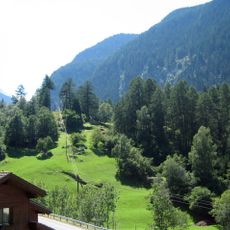
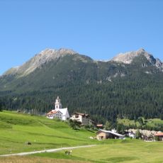
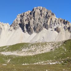
Piz Curvér is a mountain in the Oberhalbstein Range in eastern Switzerland, positioned between the towns of Andeer and Savognin. The peak rises through alpine terrain with steep slopes and rocky ridges typical of this mountain chain.
The name Piz Curvér comes from Latin corvarius, from corvs, raven. The mountain is the namesake of the Piz Curvér Group, a subgroup of the Oberhalbstein Alps. On the summit meet the municipal boundaries of Surses, Andeer and Zillis-Reischen. The painter Giovanni Segantini (1858–1899) showed Piz Toissa and Piz Curvér in the background of his landscapes; the multi-day Senda Segantini trail links stations of his life and passes through Parsonz on the eastern flank.
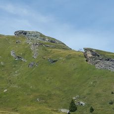
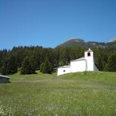
On the eastern flank of Piz Curvér stands the Marian sanctuary of Ziteil, at 2,429 m the highest pilgrimage site in the Eastern Alps. Its name comes from the Romansh word for the mountain ridge, and pilgrims from the Surses and Schams valleys climb to it on foot. The chapel is the destination of an annual procession.
Visitors should bring appropriate alpine gear and check weather conditions before attempting the ascent, as conditions at this elevation change quickly. Good planning and preparation are essential for safe travel in this terrain.
The summit marks the highest point of the Oberhalbstein Range north of Fuorcla Cotschna and offers views across multiple Alpine valleys. From this vantage point, hikers can see a vast network of surrounding mountains and landscapes.
The community of curious travelers
AroundUs brings together thousands of curated places, local tips, and hidden gems, enriched daily by 92,632 contributors worldwide.