Jungfrau, Alpine summit in Bernese Alps, Switzerland
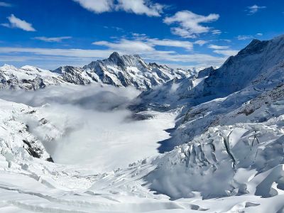
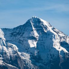
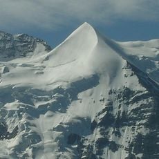
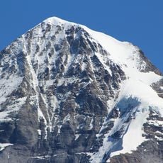
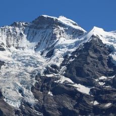
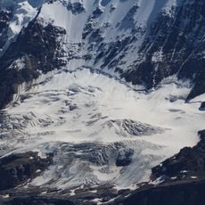
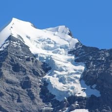
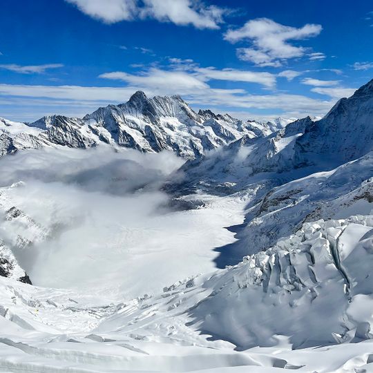
The Jungfrau rises to 4,158 m on the border between the cantons of Bern (Lauterbrunnen) and Valais (Fieschertal), the third-highest summit of the Bernese Alps after the Finsteraarhorn and Aletschhorn. With the Mönch and Eiger it forms a 10 km wall above the Lauterbrunnen and Grindelwald valleys. Its upper slopes and west flank are crystalline gneiss and mica schist, while the northwest face is Jurassic and Cretaceous sedimentary rock pushed over the basement.
Johann Rudolf and Hieronymus Meyer of Aarau reached the summit on 3 August 1811 with the Valais chamois hunters Alois Volken and Joseph Bortis, after crossing the Beich Pass and the Lötschenlücke from the north. A direct route on the north side followed only in 1865. The Jungfrau Railway, planned to run beneath the summit, was completed in 1912 only as far as the Jungfraujoch saddle.
The name likely comes from Jungfrauenberg, the old name of Wengernalp, the meadow facing the north face, owned by the nuns of Interlaken Monastery. The peak was romanticised as a goddess in late 18th- and 19th-century writing, and after the 1811 ascent it was jokingly called "Mme Meyer". Schiller mentions it in Wilhelm Tell (1804), and Byron set scenes of Manfred (1817) on the massif.
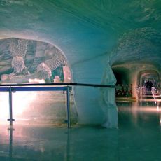
The Jungfrau Railway, planned to run beneath the summit, was completed in 1912 only as far as the Jungfraujoch saddle at 3,454 m, reached from Kleine Scheidegg. The normal route to the summit starts at the Mönchsjochhütte (3,657 m) and takes 4 to 5 hours over the Rottalsattel and southeast ridge.
The name likely comes from Wengernalp, the meadow facing the north face, called Jungfrauenberg after the nuns of Interlaken Monastery who owned it. After the 1811 first ascent the untouched peak was jokingly called "Mme Meyer".
The community of curious travelers
AroundUs brings together thousands of curated places, local tips, and hidden gems, enriched daily by 92,637 contributors worldwide.