Mönch, Mountain peak in Bernese Alps, Switzerland
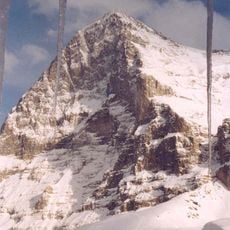
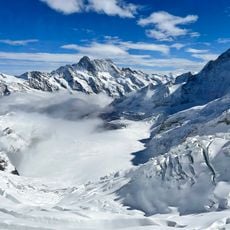
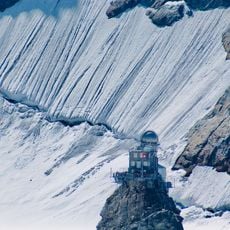
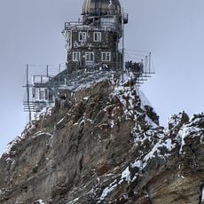
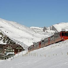
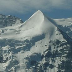
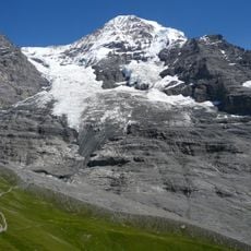
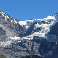
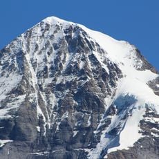
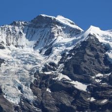
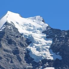
The Mönch is a 4,110-metre peak in the Bernese Alps, on the border between the cantons of Bern and Valais. Its pyramidal summit is capped by a growing firn dome, while steep rock faces with vertical ridges and snow-filled gullies fall away below. The Jungfrau railway tunnel passes about 3,300 metres beneath the summit.
The first recorded ascent took place on 15 August 1857, by Christian Almer, Christian Kaufmann, Ulrich Kaufmann and Sigismund Porges. The summit lies on the border between the cantons of Bern and Valais, where the municipalities of Lauterbrunnen, Grindelwald and Fieschertal meet. Its height was long given as 4,099 m, measured in 1935; aerial photogrammetry in 1993 gave 4,107 m, and a 1999 survey 4,110 m, because the firn cap on top has grown.
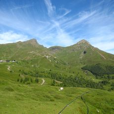
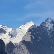
The name comes from the Walser word "Münche", meaning castrated bulls that once grazed on the alpine pastures below the peak; over time Münchenberg became Münch and then Mönch. Together with the Eiger and Jungfrau it forms the "Dreigestirn", a trio recognisable from Kleine Scheidegg and the Jungfraujoch.
Climbers typically approach the mountain via the Jungfraujoch railway, with the Mönchjoch Hut at 3,650 meters serving as a base camp. The established route and mountain shelter make this a relatively accessible climb for experienced mountaineers.
The Jungfrau railway tunnel passes about 800 metres below the summit, at roughly 3,300 metres, on its way to the Jungfraujoch station. The Mönch's summit itself is a dome of firn that has grown in recent decades: surveys gave 4,099 m in 1935, 4,107 m in 1993 and 4,110 m in 1999.
The community of curious travelers
AroundUs brings together thousands of curated places, local tips, and hidden gems, enriched daily by 92,784 contributors worldwide.