Tschuggen, Mountain summit in Bernese Alps, Switzerland
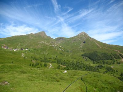
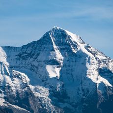
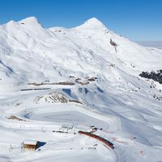
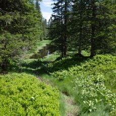
Tschuggen reaches an elevation of 2,521 meters and stands as the highest peak north of the Kleine Scheidegg in the Bernese Alps. It connects to several hiking trails with varying difficulty levels and offers multiple vantage points along its slopes.
The mountain was mapped during the systematic survey of the Swiss Alps in the 19th century and has served as a geographical reference point for the region ever since. Its stable position has allowed it to anchor other geographical measurements across the Bernese Oberland.
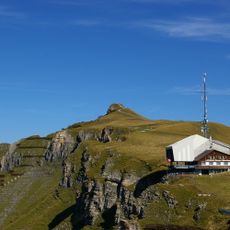
The mountain serves as a natural gathering place during hiking season, where climbers meet and share experiences with one another. This practice has made it a social hub within the local mountaineering community.
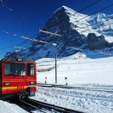
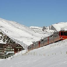
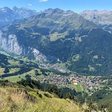
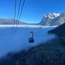
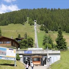
Visitors reach the mountain most easily by train to Wengen and then via marked hiking trails to the summit. The route requires good fitness and proper mountain gear, as weather and snow can change conditions quickly.
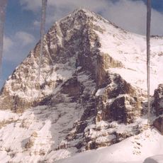
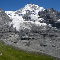
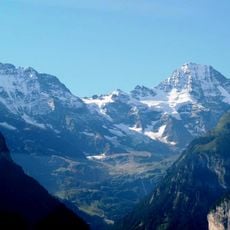
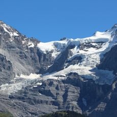
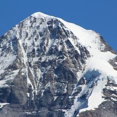
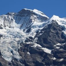
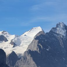
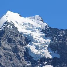
From the summit, on clear days one can see the Eiger, Mönch, and Jungfrau aligned in a single view, making it a favored spot for mountain photography. This alignment allows photographers to capture three iconic peaks within a single frame.
The community of curious travelers
AroundUs brings together thousands of curated places, local tips, and hidden gems, enriched daily by 60,000 contributors worldwide.