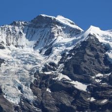
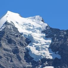
Lauterbrunnen Wall, Rocky wall in Bernese Alps, Switzerland
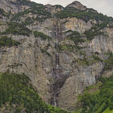
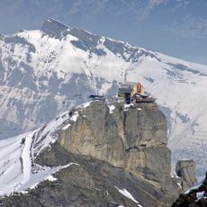
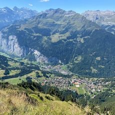
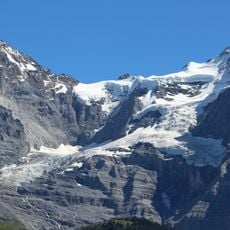
Lauterbrunnen Wall is a north-west-facing rock wall in the Bernese Alps running 8 km from the Gletscherhorn (3,983 m) eastward through the Ebnefluh (3,962 m), Mittaghorn (3,897 m) and Grosshorn (3,754 m) to the Breithorn (3,785 m) in the west, where a col separates it from the Tschingelhorn. It takes its name from the village of Lauterbrunnen below to the north.
The wall emerged as an ice climbing destination in the 1930s when mountaineers first explored its vertical faces systematically. These early expeditions established the foundation for its modern reputation among professional and amateur climbers.
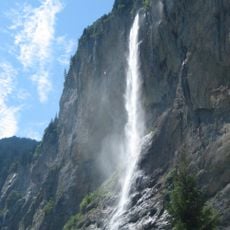
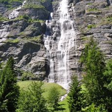
The wall frames a valley that draws hikers and climbers who come to observe the steep rock formations and the waterfalls that cascade down. The name of this landscape has roots in historical documents and relates to the springs and streams found here.
Access to the wall is typically organized from the village of Lauterbrunnen, where lodging and mountain guides are available. Specialized climbing equipment and alpine experience are required, as conditions vary significantly with season and weather.
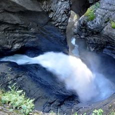
A notable feature is the high number of waterfalls that cascade down the rock face and define the valley below. These falls are formed by meltwater and rainfall running down the steep slopes, creating a landscape shaped entirely by flowing water.
The community of curious travelers
AroundUs brings together thousands of curated places, local tips, and hidden gems, enriched daily by 93,830 contributors worldwide.