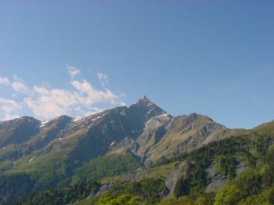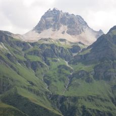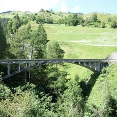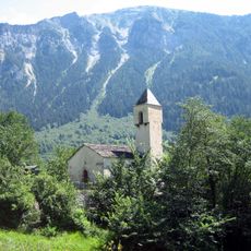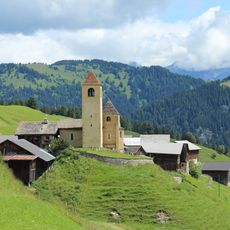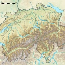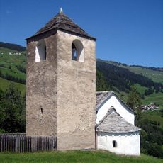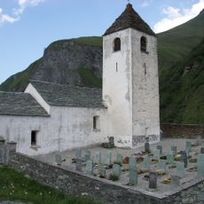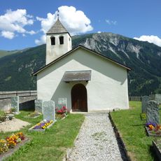
Piz Beverin, Mountain summit in Grisons, Switzerland
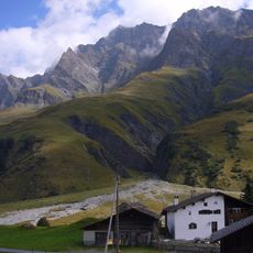
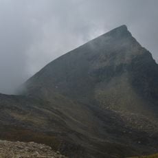
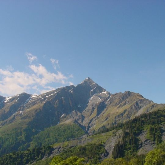
Piz Beverin rises to 2,998 meters in the Lepontine Alps, offering demanding hiking trails that traverse limestone terrain and provide panoramic views across the Swiss mountainous landscape.
The name Beverin derives from the Latin "bovarinum", from "bos" (ox), making it the "Ox Mountain". The first recorded ascent of the north-west ridge was made by Carl Frey on 20 September 1908; for most other routes no first ascensionists are known. The mountain forms the natural boundary between the municipalities of Tschappina and Muntogna da Schons.
The name Beverin derives from Latin "bos" via "bovarinum", meaning ox mountain. The peak marks the natural boundary between the municipalities of Tschappina and Muntogna da Schons. A wolf pack lived on its slopes: in October 2019 it counted two adults and nine pups, and four pups were shot that November after an adult killed at least 15 goats from protected herds.
Hikers should begin their journey from Mathon village, carrying adequate provisions and proper mountaineering equipment, as the 15.7-kilometer route includes technical sections with ladders and secured passages requiring alpine experience.
The south-east ridge route via the Beverin Pintg crosses a ladder about six metres high; it is also walkable in winter. The north-west ridge was first climbed on 20 September 1908 by Carl Frey, over friable rock where ibex can trigger rockfall.
The community of curious travelers
AroundUs brings together thousands of curated places, local tips, and hidden gems, enriched daily by 94,581 contributors worldwide.