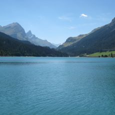
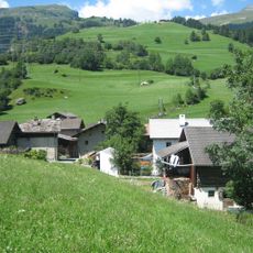
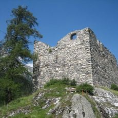
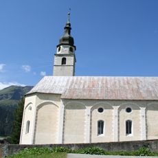
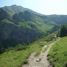
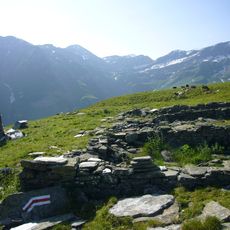
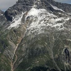
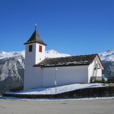
Bruschghorn, Mountain summit in Graubünden, Switzerland.
The Bruschghorn is the highest summit of a 2.2-kilometre ridge in the Lepontine Alps of Graubünden, reaching 3,056 metres between the Safiental and the Schams. From the south the ridge runs over the Schwarzhorn (3,031 m) and the Gelbhorn (3,036 m) before the final 1,100-metre stretch to the Bruschghorn. Its east side is a gentle slope, while to the west it drops in a rock wall of over 1,000 metres.
The Bruschghorn appears in Swiss alpine records as the highest point of a 2.2 km summit ridge between the Safiental and the Schams. The ridge runs from the Schwarzhorn (3031 m) over the Gelbhorn (3036 m) to the Bruschghorn (3056 m), then on to an unnamed 3044 m point. All summits except that northern point lie on the boundary between the Safien fraction of Safiental and Muntogna da Schons.
The name Bruschghorn lacks the "Piz" prefix common to Romansh peaks, a German name in a Romansh-speaking area: the Schams Romansh considered the mountain unimportant, too remote and a stone desert. All summits around the Safiental carry German names. The ridge's other peaks, Schwarzhorn (3,031 m) and Gelbhorn (3,036 m), lie on the Safien–Schams boundary.
Climbers typically approach the summit from a mountain hut that provides overnight stays at higher elevation. The ascent is demanding and requires mountaineering experience and proper equipment.
The Bruschghorn is the highest point of a 2.2 km summit ridge; from the south the route passes Schwarzhorn (3,031 m) and Gelbhorn (3,036 m) before the final 1,100 m along the crest. Its German name without the prefix "Piz" stands out among the Romansh-speaking Schams, for whom the peak was too distant and too stony to matter.
The community of curious travelers
AroundUs brings together thousands of curated places, local tips, and hidden gems, enriched daily by 94,226 contributors worldwide.