Alperschällihorn, Mountain summit in Grisons, Switzerland
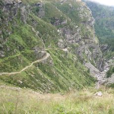
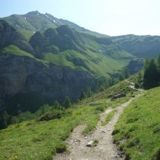
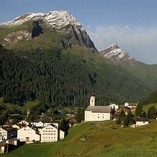
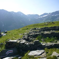
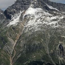
Alperschällihorn is a mountain of the Splügen limestone Alps in the Swiss canton of Graubünden, rising above the village of Splügen in the Rheinwald. Its eastern slope forms the highest point of the municipality of Rheinwald, while the northwestern flank belongs to the municipality of Safiental. Like the whole range, the mountain is marked by stone fields and scree slopes.
Alperschällihorn belongs to the Splügen limestone mountains (Splügener Kalkberge) of the Lepontine Alps, a range built up of limestone. Its north-west flank lies in the municipality of Safiental, while the eastern rise is the highest point of the municipality of Rheinwald. North of the summit, at 2613 metres, the Alperschällilücke forms a pass crossing from Sufers to Safien.
The name Alperschällihorn combines the Alpine pasture name Alperschälli with Horn, the German word for a peak; the Alperschällilücke pass below the summit, at 2613 metres, links Sufers in the Rheinwald with Safien to the north. The mountain is the highest point of the municipality of Rheinwald, while its northwestern flank belongs to Safiental.
Access to the summit is typically gained from the village of Splügen, with summer months providing the most favorable climbing conditions. Established routes lead to the peak, though climbers should be experienced hikers or mountaineers.
The peak sits between the Safien valley and the Hinterrhein valley, offering views into two distinct Alpine landscapes from the summit. This location makes it a vantage point connecting two different drainage systems.
The community of curious travelers
AroundUs brings together thousands of curated places, local tips, and hidden gems, enriched daily by 94,623 contributors worldwide.