Lac de Joux, Alpine lake in Vallée de Joux, Switzerland
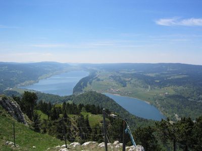
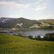
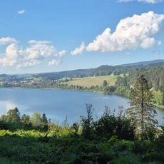
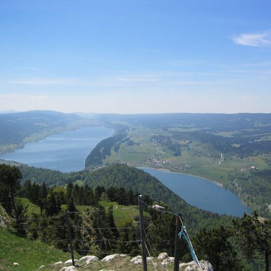
Lac de Joux is a long, narrow lake in the Vallée de Joux in the Vaud Jura, at 1,004 m altitude. It stretches about 9 km from southwest to northeast between the Mont Tendre chain and the Risoux ridge, with the Dent de Vaulion closing the northeast end. Its southeast shore is relatively flat, while the northwest shore runs along the rock rib Le Revers, up to 80 m high and at times rocky.
Until the 1940s, ice was cut from the frozen lake in winter and sold in summer to hospitals, breweries and inns in France and Germany. The lake fills the floor of the Vallée de Joux at 1,004 m and freezes over in most winters, allowing skating on its whole surface. Its surplus water seeps through the limestone bed and reappears at the Grotten von Vallorbe.
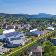
The lake's name appears in the villages of Le Pont and L'Abbaye, whose long roadside settlements of Vers-chez-Grosjean and Les Bioux line the southeast shore. In winter, when the lake freezes over, locals skate on the ice; until the 1940s ice was cut and sold to hospitals, breweries and inns in France and Germany. From June to September the wooden boat Caprice II, built in 1949 in Ticino, runs from Le Pont to Le Rocheray.
The southeast shore is relatively flat, with the villages of L'Abbaye, Vers-chez-Grosjean and Les Bioux along it, while the northwest shore below Le Revers is steep and in places rocky, up to 80 m high. Le Pont sits at the northeast end, where a 200 m land bridge separates the lake from Lac Brenet. A passenger boat links Le Pont and Le Rocheray from June to September, and the Pont–Brassus railway runs parallel to the north shore.
The water drains underground through hidden channels that form part of the karst system in the surrounding Jura hills. These subterranean pathways shape the landscape in ways visitors cannot see from the surface.
The community of curious travelers
AroundUs brings together thousands of curated places, local tips, and hidden gems, enriched daily by 93,694 contributors worldwide.