Schnebelhorn, Mountain summit in Töss Valley, Switzerland
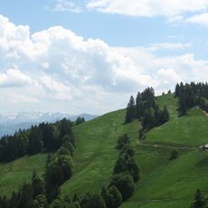
Schnebelhorn is a 1,291-meter summit in Zürich canton with forest-covered slopes and open meadow areas throughout the terrain. The peak sits at the border between Zürich and St. Gallen cantons.
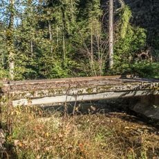
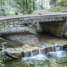
From 1852 to 1896, clear-cutting for pasture and commercial timber in the Töss headwaters around the Schnebelhorn caused erosion, landslides and debris flows, and severe flooding of the Töss down to Winterthur. Around 50 farmsteads in the Tösswald were bought up, mostly demolished and their cleared land reforested; by 1920 state forest and protection-forest laws secured lasting flood control. Field names such as Niderhusers and Hübschegg still mark the vanished farms.
Since 1896 the Alp Schnebelhorn has been grazed by 120 to 160 head of young cattle from communities in the cantons of Zurich, Thurgau and St. Gallen; the cooperative Landwirtschaftlicher Verein Pfäffikon ZH-Hittnau-Russikon owns the alp. The 50 hectares on the Zurich side are supplemented by 12 leased hectares in St. Gallen. The associated Bergwirtschaft Tierhag was fully rebuilt in 2021 and is run year-round by the alp tenant and his wife.
The hike from Steg village to the summit takes about 5 hours along a marked trail. Bring sturdy footwear and be prepared for changing weather, as conditions at the peak can shift quickly.
The summit lies on the cantonal border in the Hörnli chain, at the source area of the Töss river. The panorama reaches the Jura arc from Chasseral to Lägern in the northwest and the Black Forest and Swabian Alb beyond Lake Constance in the north.
The community of curious travelers
AroundUs brings together thousands of curated places, local tips, and hidden gems, enriched daily by 94,623 contributors worldwide.