Irchel, Mountain summit near Zurich, Switzerland
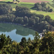
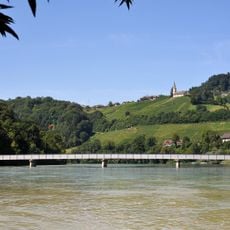
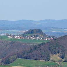
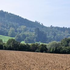
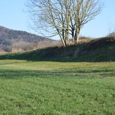
Irchel is a forested ridge in the canton of Zurich, rising north of the city and reaching its highest point at 694 meters. The plateau is covered with woodland and open meadows, and its northern slopes descend gradually toward the lower Zurich countryside.
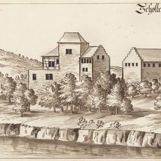
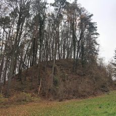
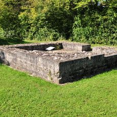
In Roman times the Irchel formed part of the Rhine Limes. In the 17th and 18th centuries it belonged to the Hochwachten alarm system of the canton of Zurich, in which all 23 signal stations could pass a message on within 15 minutes; the best-known stood on the Lägern, the Irchel and the Uetliberg.
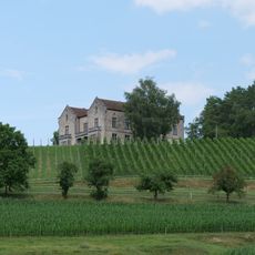
The name Irchel comes from a Helvetic word for "stag". The ridge lies in the Zürcher Weinland, and its slopes hold a historic wine-growing area. From the Irchelturm above Buch am Irchel, hikers look across the Flaachtal as far as Germany.
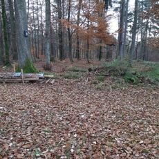
The Irchel is easy to reach from central Zurich by public transport, and several marked walking paths cross the plateau. The forest trails are generally flat and work well for a half-day outing in any season.
The name Irchel comes from a Helvetic word for "stag". In the 17th and 18th centuries the ridge carried one of the canton of Zurich's Hochwachten, signal stations that relayed an alarm across all 23 of them within 15 minutes; the best known stood on the Lägern, the Irchel and the Uetliberg.
The community of curious travelers
AroundUs brings together thousands of curated places, local tips, and hidden gems, enriched daily by 93,984 contributors worldwide.