
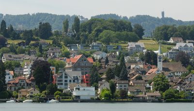
Rüschlikon, municipality in the canton of Zürich, Switzerland
Location: Horgen District
Location: Zürich
Elevation above the sea: 444 m
Shares border with: Adliswil, Kilchberg, Küsnacht, Langnau am Albis, Thalwil
Website: http://rueschlikon.ch
GPS coordinates: 47.30806,8.55417
Latest update: March 23, 2025 00:14
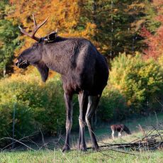
Langenberg Wildlife Park
2.5 km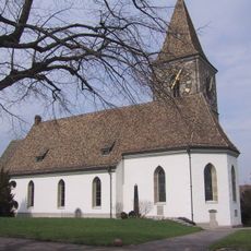
Reformed church
1.4 km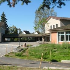
Brunnenmoos school house
1.5 km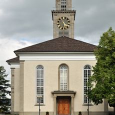
Reformed church
2.3 km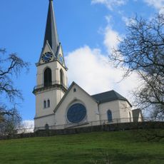
Reformierte Kirche Adliswil
2 km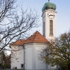
Felix Regula Thalwil
1.2 km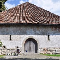
Zehntentrotte
2 km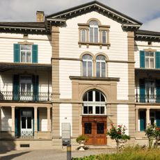
So-called Jenny Schloss with outbuilding
2 km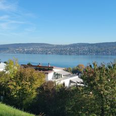
Lindt
1.2 km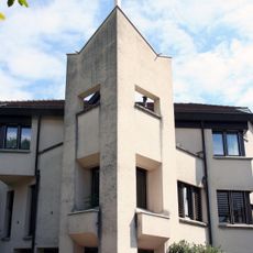
Nikolaus Rüschlikon
225 m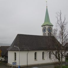
Reformierte Kirche Rüschlikon
150 m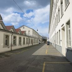
Ehemalige mechanisierte Seidenweberei mit MSA-Steg (1907) und Wohnsiedlung Sihlau
2.2 km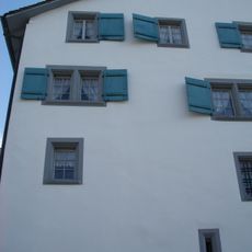
Schloss Langnau
2.5 km
Grundsteinweg
2.3 km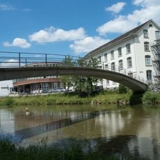
Sihlausteg
2.2 km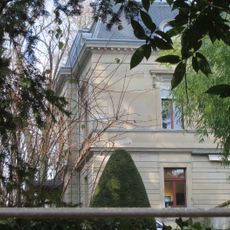
Villa Diana with coach house, orangery and park
1.6 km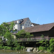
Former spinning mill Staub with factory owner's villa
2.3 km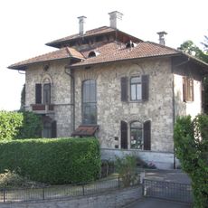
Usteri villa with gatehouse
287 m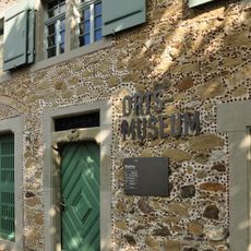
Thalwil local museum
2.1 km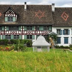
Pfistergut, wine farmhouse with trough and barn
2.1 km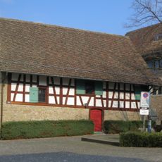
Pfistergut, former Trotte an der Strass
2.1 km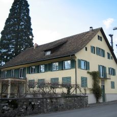
Wohnhaus von C. F. Meyer (1785, 1935, 1965, Ortsmuseum)
1.3 km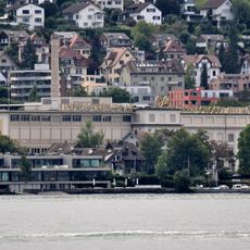
Lindt & Sprüngli archives
1 km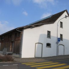
Pfistergut, barn
2.1 km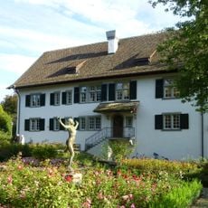
Seehof country estate with dépendance and bathhouse
2.1 km
Manufaktur Scheller (bes. Garten- und Uferbereich)
1.2 km
Broelberggut
1.1 km
Am Gstad residential building
1.5 kmVisited this place? Tap the stars to rate it and share your experience / photos with the community! Try now! You can cancel it anytime.
Discover hidden gems everywhere you go!
From secret cafés to breathtaking viewpoints, skip the crowded tourist spots and find places that match your style. Our app makes it easy with voice search, smart filtering, route optimization, and insider tips from travelers worldwide. Download now for the complete mobile experience.

A unique approach to discovering new places❞
— Le Figaro
All the places worth exploring❞
— France Info
A tailor-made excursion in just a few clicks❞
— 20 Minutes