Ernen, Village in Goms District, Valais, Switzerland
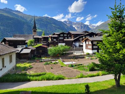
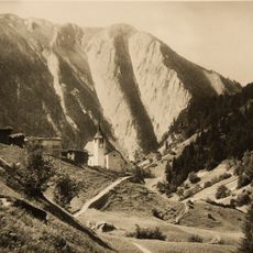
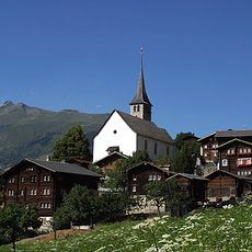
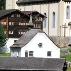
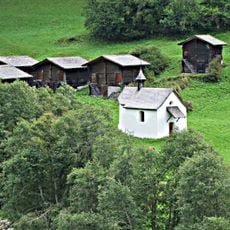
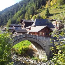
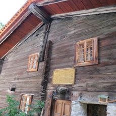
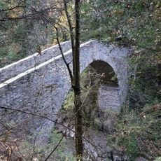
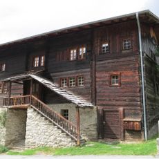
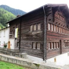
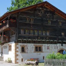
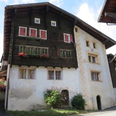
Ernen is a village in the Goms District of the Swiss canton of Valais, perched on a raised plateau above the Rhone Valley. Its streets are narrow, and the houses are built from stone and dark timber, with traditional Valaisian balconies and well-kept facades.
Ernen was first recorded in the early 13th century and served for a long time as a stopping point on the alpine passes of Valais. Over the centuries, surrounding hamlets merged into the village, and in 1979 it was recognized nationally for the care taken to maintain its old buildings.
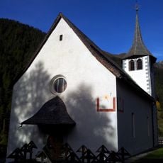
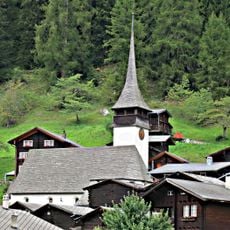
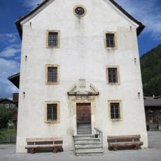
Ernen is known above all for its summer classical music festival, which takes place in July and August and draws musicians and audiences from across Europe. Many concerts are held inside the St. Georg church, where the old wooden benches and plain windows give the sound a particular quality.
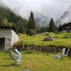
The village is best explored on foot, as the lanes are narrow and a car is of little use once you are inside. A visit works well in summer, when the surrounding trails are easy to walk and the festival season brings extra activity to the streets.
Although Ernen is a very small village, its classical music festival regularly draws internationally known soloists and chamber musicians who perform in the church before audiences of just a few dozen people. This closeness between performers and listeners is rare in the concert world.
The community of curious travelers
AroundUs brings together thousands of curated places, local tips, and hidden gems, enriched daily by 60,000 contributors worldwide.