
Bister, municipality in Switzerland
Location: Valais
Location: Östlich Raron District
Elevation above the sea: 1,054 m
Shares border with: Grengiols, Termen
GPS coordinates: 46.36667,8.06667
Latest update: March 7, 2025 23:19
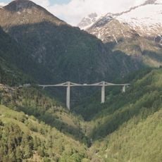
Ganter Bridge
7.9 km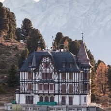
Cassel villa
4 km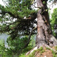
Aletschwald
4.3 km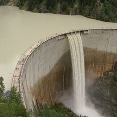
Gibidum Reservoir
5 km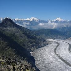
Bettmerhorn
5.4 km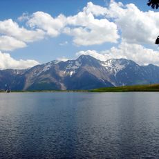
Bettmersee
3.1 km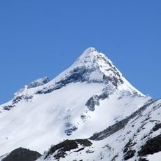
Bortelhorn
9.2 km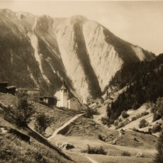
Breithorn
5.6 km
Riederhorn
3.9 km
Fülhorn
4.9 km
Hillehorn
9.1 km
Bätterhitta
4.1 km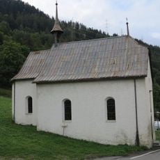
St. Antonius chapel
5.9 km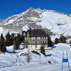
Riederfurka
4 km
Hille glacier
9.2 km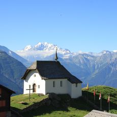
Kapelle Maria zum Schnee, Bettmeralp
2.5 km
St. Hilarius church and de Sepibus house
2.1 km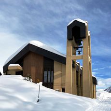
St. Bernhard chapel
2.4 km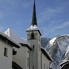
St. Theodul church
6.5 km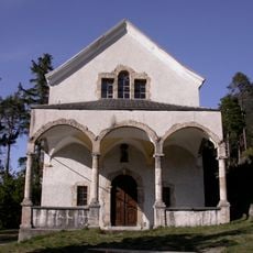
Chapel of the Annunciation
6 km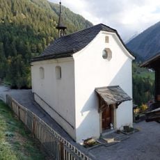
Rosary chapel
6.6 km
Grosse Huwetz
4.8 km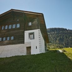
Bellwalder House
881 m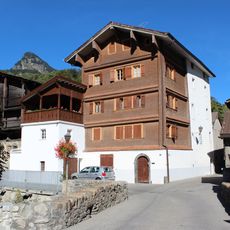
Michel Supersaxo granary
7.5 km
Seewjihorn
6.5 km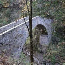
Bridge on the Binna
6.5 km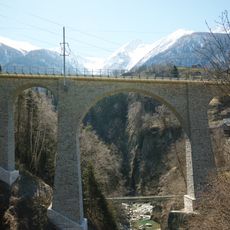
Railroad bridge over the Rhone
2.5 km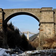
Old Ganter Bridge
7.7 kmReviews
Visited this place? Tap the stars to rate it and share your experience / photos with the community! Try now! You can cancel it anytime.
Discover hidden gems everywhere you go!
From secret cafés to breathtaking viewpoints, skip the crowded tourist spots and find places that match your style. Our app makes it easy with voice search, smart filtering, route optimization, and insider tips from travelers worldwide. Download now for the complete mobile experience.

A unique approach to discovering new places❞
— Le Figaro
All the places worth exploring❞
— France Info
A tailor-made excursion in just a few clicks❞
— 20 Minutes