
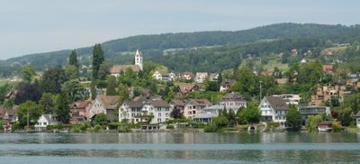
Uetikon am See, municipality in the canton of Zürich in Switzerland
Location: Meilen District
Location: Zürich
Elevation above the sea: 450 m
Shares border with: Männedorf, Meilen, Oetwil am See, Wädenswil, Egg
Website: http://uetikon.org
GPS coordinates: 47.26694,8.67722
Latest update: April 2, 2025 19:58
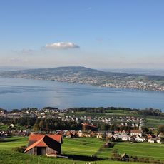
Pfannenstiel
2.9 km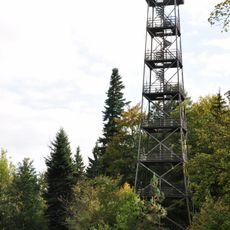
Pfannenstiel Aussichtsturm
2.7 km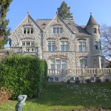
Villa Alma
1.2 km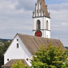
Reformed church
2.8 km
Friedberg Castle
3 km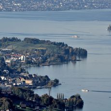
Wädenswil–Vorder Au
2.8 km
Pfannenstiel Hochwacht
2.6 km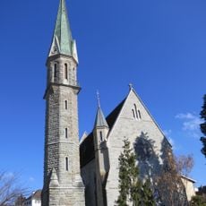
Pfarrkirche St. Stephan
2.1 km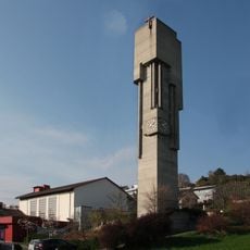
St. Martin
2.4 km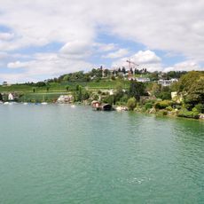
Meilen-Rorenhaab
1.3 km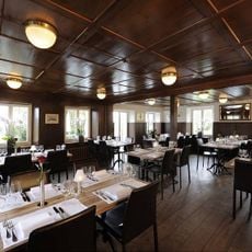
Vorderpfannenstiel
2.2 km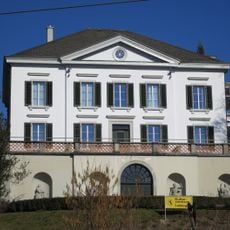
Villa Liebegg
1.9 km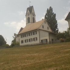
Reformierte Kirche Uetikon am See
580 m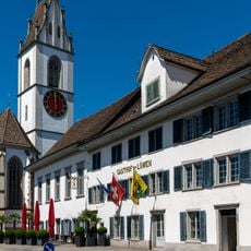
Zum Löwen Inn
2.8 km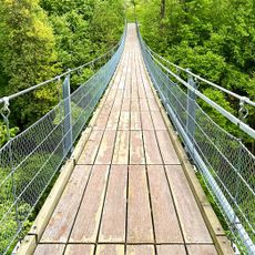
Beugenbach Hängebrücke
1.5 km
Meilen
2.5 km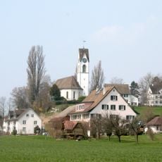
Reformed church
579 m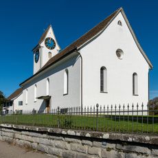
Reformed church with rectory
3.5 km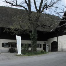
Weinbaumuseum am Zürichsee
3 km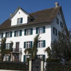
Zieglerhof
2 km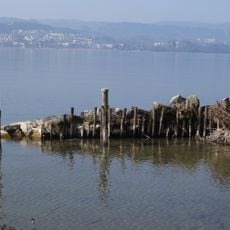
Seeufersiedlung
1.6 km
Seeufersiedlung
1.1 km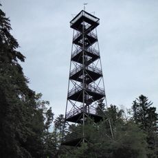
Pfannenstilturm, ehemaliger Bachtelturm (1893)
2.7 km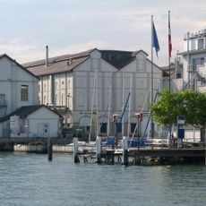
Chemische Fabrik Uetikon am See
824 m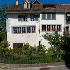
Residential building with shed
776 m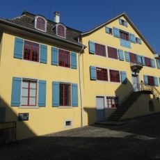
Untervogthaus (1543)
1.8 km
Seeufersiedlung
2.6 km
Landsitz Seehof
2.6 kmVisited this place? Tap the stars to rate it and share your experience / photos with the community! Try now! You can cancel it anytime.
Discover hidden gems everywhere you go!
From secret cafés to breathtaking viewpoints, skip the crowded tourist spots and find places that match your style. Our app makes it easy with voice search, smart filtering, route optimization, and insider tips from travelers worldwide. Download now for the complete mobile experience.

A unique approach to discovering new places❞
— Le Figaro
All the places worth exploring❞
— France Info
A tailor-made excursion in just a few clicks❞
— 20 Minutes