
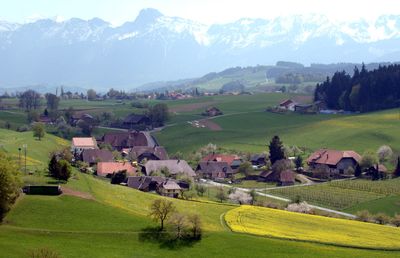
Wald, municipality in the canton of Bern, Switzerland
Location: Bern-Mittelland administrative district
Elevation above the sea: 840 m
Shares border with: Belp, Kehrsatz, Köniz, Niedermuhlern, Oberbalm, Toffen
Website: http://wald-be.ch
GPS coordinates: 46.88250,7.47167
Latest update: March 5, 2025 04:47
Swiss coordinate system
717 m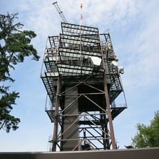
Directional beam antenna tower Ulmizberg
3.5 km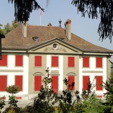
Lohn Manor
2.9 km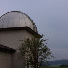
Zimmerwald Observatory
824 m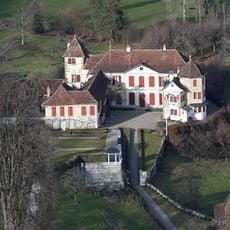
Toffen Castle
2.5 km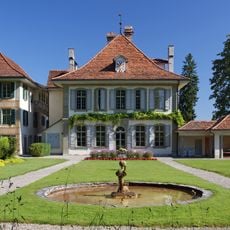
Oberried Estate
1.9 km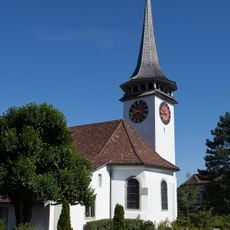
Reformed church with rectory and outbuildings
2.4 km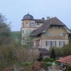
Little Castle
213 m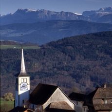
Reformed Church and Rectory
688 m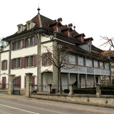
Blumenhof
3 km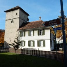
Tower of dungeons and archives
2.5 km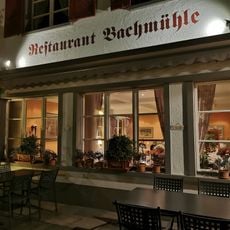
Bachmühle
2.3 km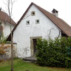
Former bakehouse and wash house
2.4 km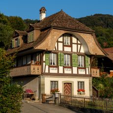
Wälchli-Stöckli (1827)
3.1 km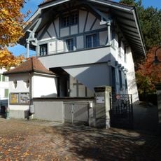
Former school house
2.4 km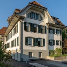
School house (1912)
2.9 km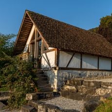
Field cellar (1592)
2.4 km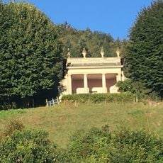
Gloriette at Oberried Castle
1.9 km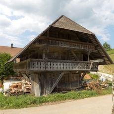
Granary and bakehouses
1.6 km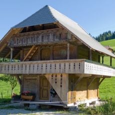
Granary.
3.8 km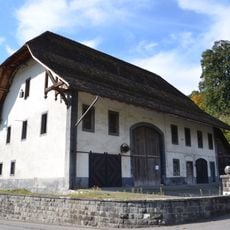
Tithe barn and horse barn (1710)
2.6 km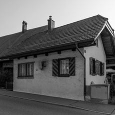
Bären-Stöckli (1685)
2.8 km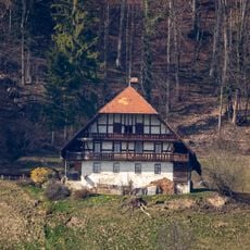
Farmhouse (around 1800)
2.8 km
Ulmizberg
3.5 km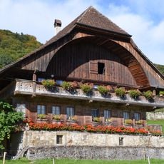
Farmhouse (1748)
2.6 km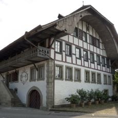
Bach mill
2.4 km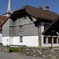
Rectory (1699)
697 m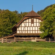
Barn ( mid-18th century)
2.6 kmVisited this place? Tap the stars to rate it and share your experience / photos with the community! Try now! You can cancel it anytime.
Discover hidden gems everywhere you go!
From secret cafés to breathtaking viewpoints, skip the crowded tourist spots and find places that match your style. Our app makes it easy with voice search, smart filtering, route optimization, and insider tips from travelers worldwide. Download now for the complete mobile experience.

A unique approach to discovering new places❞
— Le Figaro
All the places worth exploring❞
— France Info
A tailor-made excursion in just a few clicks❞
— 20 Minutes